Verkhoyansk Range
| mountain
Russia /
Saha /
Batagay-Alyta /
World
/ Russia
/ Saha
/ Batagay-Alyta
, 166 km from center (Батагай-Алыта)
World / Russia / Sakha
mountain
Add category
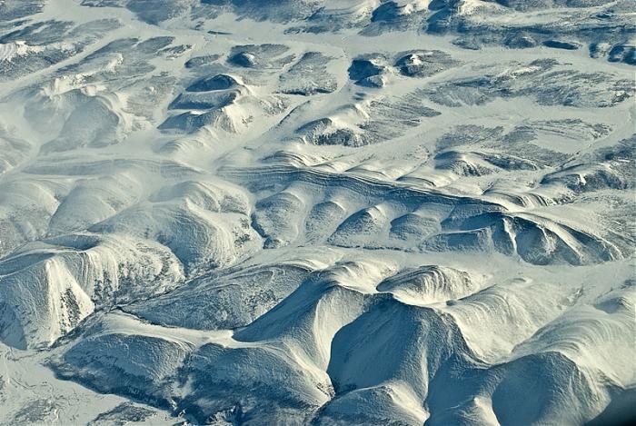
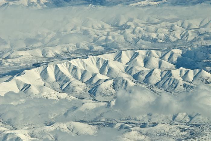
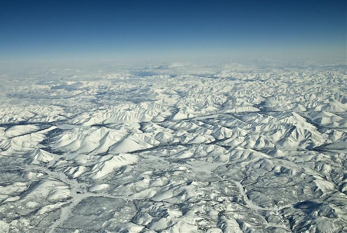
The Verkhoyansk Mountains mark the eastern edge of the Central Siberian Plateau in Russia. The Verkhoyansk Range (Russian: Верхоянский хребет) is a mountain chain of eastern Siberia, spanning 1000 km (600 m.) across the Sakha Republic. It forms a vast arc between the Lena and Aldan rivers to the west and the Yana River to the east. It rises to sea leavel 2,480 m (8,150 ft) in the south. It lies just west of the boundary of the Eurasian and the North American tectonic plates.
Wikipedia article: http://en.wikipedia.org/wiki/Verkhoyansk_Mountains
Nearby cities:
Coordinates: 67°0'7"N 129°0'31"E
- Beyenchime-Salaatin Crater 542 km
- Sengju-Dhanghy Mountains 979 km
- Balakhnya Mountain (402 m) 1121 km
- Camel montain 1301 km
- Mountain 599m 1303 km
- Summit 279 m 1313 km
- Granite Mountain 1424 km
- Odinnokaya (Lonely) Mountain (351m) 1457 km
- Gora Orlinaya 1538 km
- Mountain Mayakovsky 466m 1568 km
Array