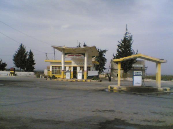
Gas station
Syria /
Idlib /
Arihha /
World
/ Syria
/ Idlib
/ Arihha
, 7 km from center (أريحا)
World / Syria / Idlib
petrol / gas station
Add category


Nearby cities:
Coordinates: 35°51'25"N 36°40'22"E
- Petrol Station 28 km
- Petrol Station 49 km
- Minyan gas station 52 km
- Shasho 85 km
- Gas Station 114 km
- Gas Station (al-Rayyan) 133 km
- Army Fueling Base 138 km
- محطة الناطور 142 km
- Fuel Station 202 km
- ar-Rashid Gas Station 208 km
- Brick Factory (Qarmeed Camp) 0.4 km
- Quarry 1.8 km
- Ma'arrbalit Checkpoint 2.1 km
- Miiltary checkpoint 2.5 km
- Military camp 2.9 km
- مزرعة زيتون// للحاج عادل البكور ابن عبدو البكرو Olive farm 3.7 km
- al-Arba'een mountain (881 m) 10 km
- al-Arba'een mountains (881 m) 12 km
- Idlib Plain 22 km
- Idlib Governorate (PCS) 33 km
Comments