Attleborough Snooker & Social Club (Nuneaton)
United Kingdom /
England /
Attleborough /
Nuneaton
World
/ United Kingdom
/ England
/ Attleborough
World / United Kingdom / England
layout, historical layer / disappeared object
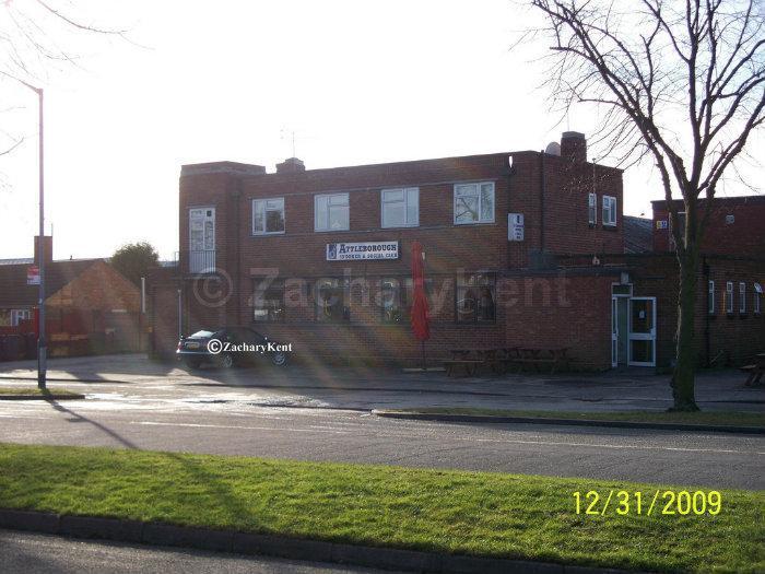
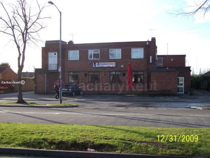
Attleborough Snooker & Social Club, 57 Highfield Road, was a snooker and social club in the Attleborough area of Nuneaton, situated here on Highfield Road.
Building was demolished.
Building was demolished.
Nearby cities:
Coordinates: 52°30'51"N 1°27'16"W
- RAF Lindley 6.1 km
- Bosworth Battlefield (1485) 8.3 km
- former RAF Church Broughton 46 km
- Battle of Hopton Heath 19th March 1643 55 km
- RAF Weston Park (Former) 60 km
- Blore Heath Battlefield 80 km
- Battle of Blore Heath 23rd September 1459 80 km
- Former RAF Atcham 83 km
- Battle of Shrewsbury 21 July 1403 91 km
- Former RAF Calveley 103 km
- Pingles Sports Ground 0.4 km
- The Pingles Leisure Centre 0.5 km
- Attleborough Fields Industrial Estate 0.6 km
- Attleborough 0.7 km
- Caldwell 1.1 km
- Wem Brook 1.1 km
- Hill Top 1.5 km
- Whitestone 1.8 km
- Chilvers Coton 3.4 km
- Warwickshire 23 km