Attleborough Fields Industrial Estate (Nuneaton)
United Kingdom /
England /
Attleborough /
Nuneaton
World
/ United Kingdom
/ England
/ Attleborough
World / United Kingdom / England
industrial estate
Add category
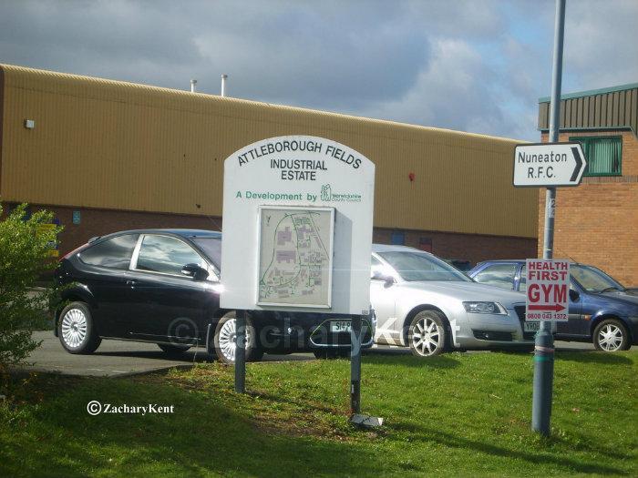
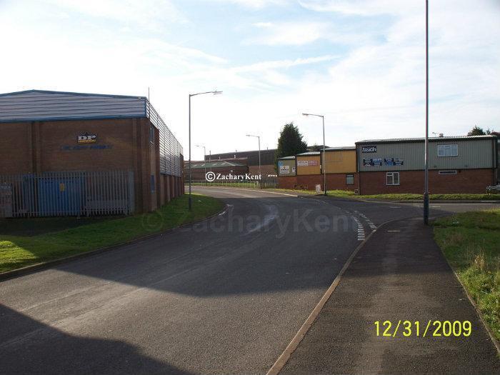
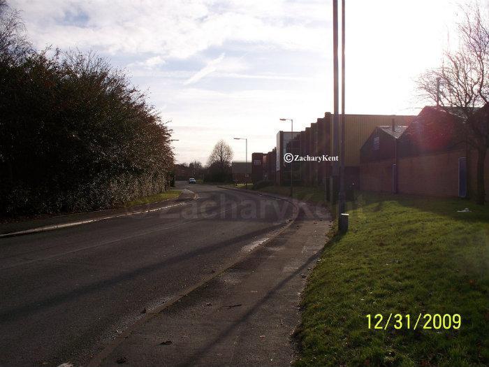

Large industrial estate in the east of Attleborough, mostly developed in the 1970s and 1980s. The estate is bounded by the West Coast Main Line, Eastboro Way (A4254) and the River Anker.
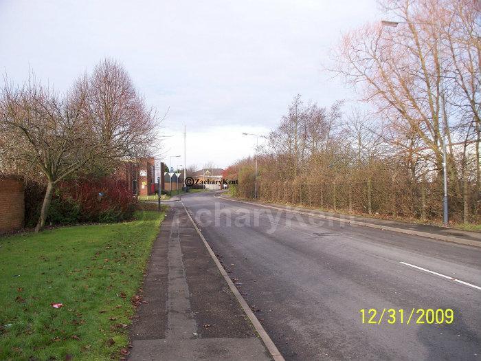
The main thoroughfare is Townsend Drive, which forms a horseshoe off Eastboro Way.
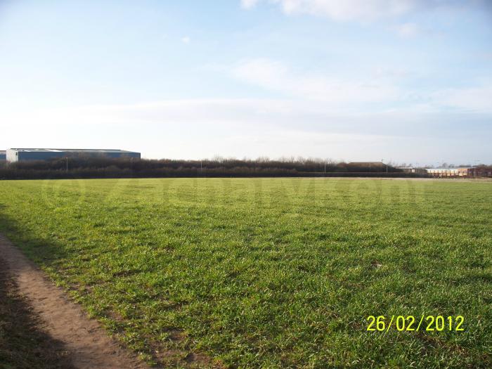
The home ground of Nuneaton RFC ("The Nuns") is located on the northern edge of the estate, off Liberty Way. The rugby club shares its grounds with Nuneaton Town F.C. who relocated here in 20017 from their previous ground, Manor Park.
The main thoroughfare is Townsend Drive, which forms a horseshoe off Eastboro Way.
The home ground of Nuneaton RFC ("The Nuns") is located on the northern edge of the estate, off Liberty Way. The rugby club shares its grounds with Nuneaton Town F.C. who relocated here in 20017 from their previous ground, Manor Park.
Nearby cities:
Coordinates: 52°31'3"N 1°26'50"W
- New Stanton 49 km
- Colwick Industrial Eatate 55 km
- Stafford Park Industrial Estate 69 km
- Halesfield Industrial Estate 69 km
- Hortonwood Industrial Estate 74 km
- Winsford Industrial Estate 105 km
- Wrexham Industrial Estate 117 km
- Ineos Chlor 126 km
- Deeside Industrial Park 135 km
- Lillyhall Industrial Estate 271 km
- Attleborough 0.9 km
- Horeston Grange 0.9 km
- St Nicolas 1.2 km
- Caldwell 1.6 km
- Whitestone 1.6 km
- Wem Brook 1.7 km
- Nuneaton Golf Club 2.3 km
- St. Nicolas Park 2.3 km
- Weddington 2.6 km
- Warwickshire 24 km