Novorossiysk Bay
Russia /
Krasnodar /
Novorossiysk /
World
/ Russia
/ Krasnodar
/ Novorossiysk
, 10 km from center (Новороссийск)
World / Russia / Krasnodar
water, cove, invisible
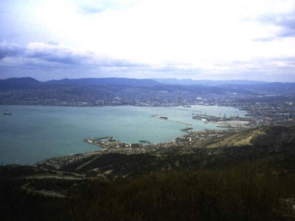
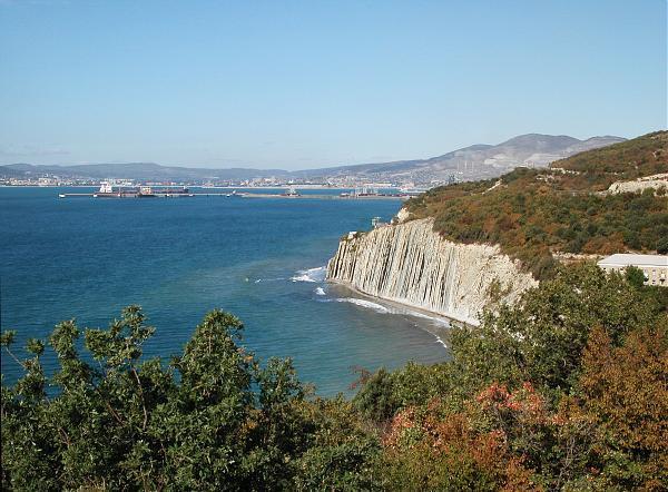
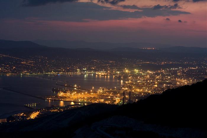
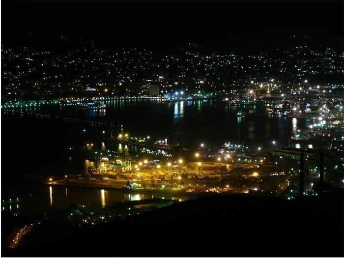
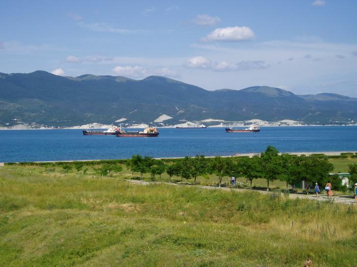
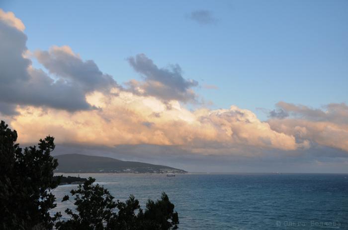
The Novorossiysk Bay (also Tsemess Bay or Tsemes Bay; Russian: Цемесская бухта, Tsemesskaya bukhta) is an ice-free bay located on the northern coast of the Black Sea, in Krasnodar Krai of Russia. It takes its name from the Tsemes River which flows into the bay. The depth of the sea varies from 21 to 27 meters. The length of the bay is 15 kilometers; its maximum width is 9 kilometers. It is bordered by the Sudzhuk Spit and Cape Doob.
Yandex panorama: yandex.ru/maps/-/CCU5VVHbtB
Yandex panorama: yandex.ru/maps/-/CCU5VVHbtB
Wikipedia article: http://en.wikipedia.org/wiki/Tsemes_Bay
Nearby cities:
Coordinates: 44°40'58"N 37°51'9"E
- Sudzhukskaya lagoon 4.3 km
- Columbia crewing 5.1 km
- Lake 5.5 km
- ulitsa Geroyev Desantnikov, 67А 6.4 km
- Lake 19 km
- Lake Abrau 21 km
- Pond 26 km
- second lagoon 36 km
- first lagoon, waterfall 36 km
- Anapa reed bed 50 km
- Oil terminal Sheskharis 2.7 km
- Sudzhukskaya lagoon 3.9 km
- Novorossiysk Naval Base 4.2 km
- Sheskharis 4.4 km
- Markothsky ridge 4.4 km
- Microdistrict №16A 4.8 km
- Admiral Ushakov State Marine Academy 4.9 km
- Microdistrict №14 5.4 km
- Yuzhny District 5.5 km
- Vostochny District 6.7 km