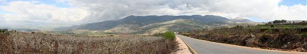
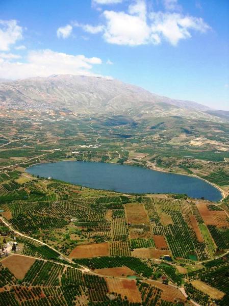
Golan Heights
Israel /
Hazafon /
Tuba-Zangariyye /
World
/ Israel
/ Hazafon
/ Tuba-Zangariyye
World / Israel
interesting place, draw only border, local government, territorial dispute


Not to be confused with the Golan Plateau.
wikimapia.org/#lang=en&lat=33.174342&lon=36.477356&z=9...
This polygon outlines the land which was occupied by Israel in 1967 and unilaterally annexed in 1981 without international recognition. It does NOT include the UNDOF area of control, nor the Syrian area of control, only the Israeli area of control which is known internationally as the "Golan Heights"
Golan Regional Council en.wikipedia.org/wiki/Golan_Regional_Council
Wikipedia article: http://en.wikipedia.org/wiki/Golan_Heights
Nearby cities:
Coordinates: 33°0'22"N 35°44'39"E
This article is protected.
- Markaz Al-Sanamayn Subdistrict 25 km
- Daraa pocket (SNC) 29 km
- Daraa Governorate (PCS) 40 km
- Markaz Daraa Subdistrict 42 km
- UNDOF Zone 46 km
- al-Lajat 49 km
- Markaz As-Suwayda Subdistrict 61 km
- Ajloun governorate 66 km
- Jerash Governorate 71 km
- Amman 102 km
- Military Zone 1.5 km
- Golan Plateau 3.1 km
- Military Zone 5.6 km
- Military Zone 5.8 km
- Military Zone 10 km
- Military Zone 11 km
- Quneitra 15 km
- Military Zone 20 km
- Galilee Panhandle 22 km
- Horan Plain 43 km
Comments