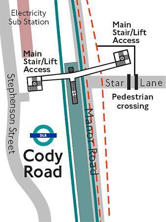
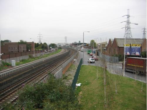
Star Lane DLR station (London)
United Kingdom /
England /
Westham /
London
World
/ United Kingdom
/ England
/ Westham
World / United Kingdom / England
light rail station, metro station
(from link below)
developments.dlr.co.uk/extensions/stratford/stations.as...
developments.dlr.co.uk/extensions/stratford/stations.as...
Wikipedia article: http://en.wikipedia.org/wiki/Docklands_Light_Railway
Nearby cities:
Coordinates: 51°31'13"N 0°0'15"E
- West Ham Station 1 km
- STIB/MIVB - Jacques Brel 310 km
- STIB/MIVB - Yser / IJzer 312 km
- STIB/MIVB - Gare Centrale / Centraalstation 313 km
- STIB/MIVB - Merode 316 km
- Amsterdam Amstel railway station 349 km
- Duivendrecht Railway Station 350 km
- Amsterdam Bijlmer Arena railway station 350 km
- Van der Madeweg subway station 350 km
- Ganzenhoef Metro Station 353 km
- Lower Lea Valley 1.4 km
- Canning Town 1.6 km
- Plaistow 1.7 km
- Stratford 2.2 km
- London Borough of Newham 2.4 km
- Tower Hamlets Council 2.8 km
- The Royal Docks 3.3 km
- Beckton 3.8 km
- East Ham 3.9 km
- Royal Borough of Greenwich 6.7 km
Comments