Hurst Point lighthouse
United Kingdom /
England /
Lymington /
World
/ United Kingdom
/ England
/ Lymington
World / United Kingdom / England
lighthouse
Add category
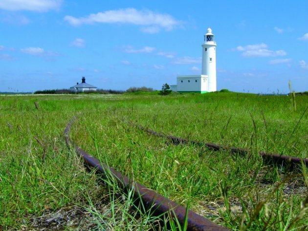
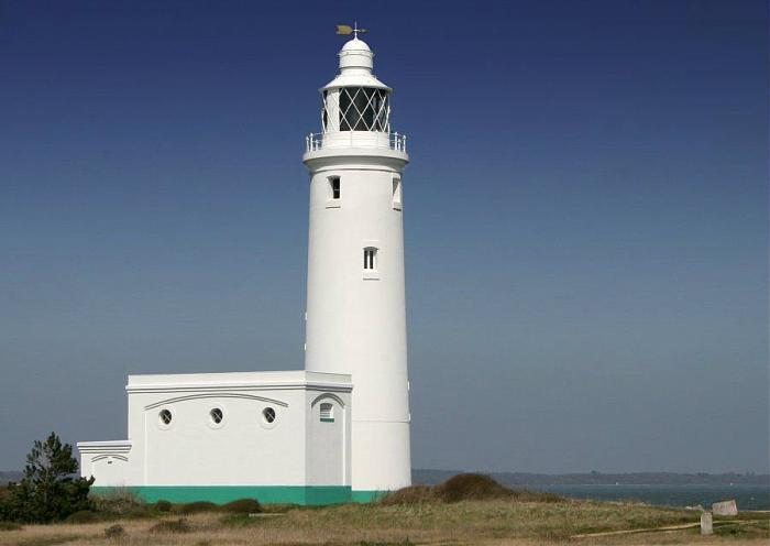
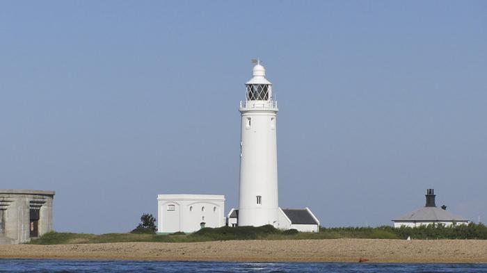
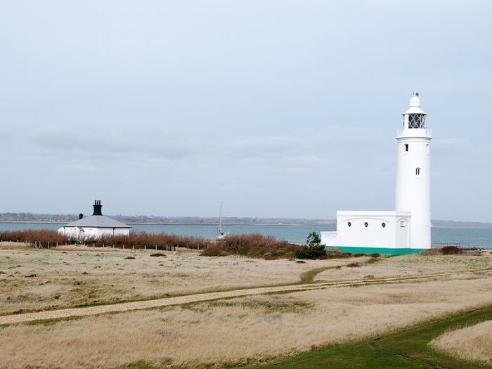
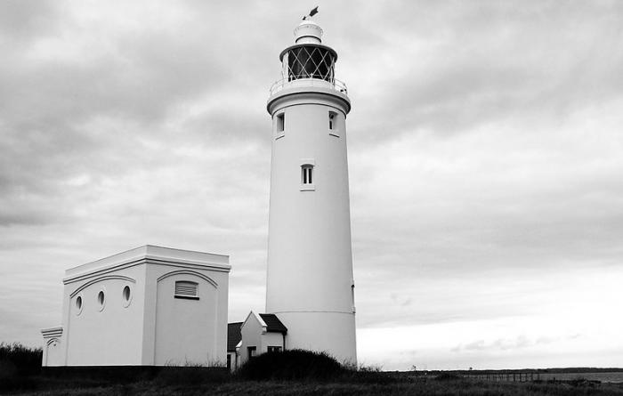
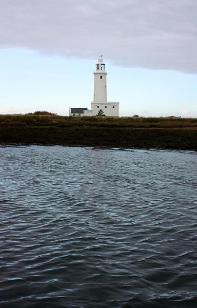
Hurst Point Lighthouse guides vessels through the hazardous western approaches to the Solent, indicating the line of approach through the Needles Channel
Although it is said that a light was shown on Hurst Point as early as 1733, the first Trinity House record relates to a meeting of shipmasters and merchants in 1781 to approve the terms of a formal petition to Trinity House for lights in the neighbourhood of the Isle of Wight.
www.trinityhouse.co.uk/interactive/gallery/hurst_point....
Wikipedia article: http://en.wikipedia.org/wiki/Hurst_Point_Lighthouse
Nearby cities:
Coordinates: 50°42'28"N 1°33'1"W
- No Mans Land Fort Light 32 km
- Saint Albans Light House 32 km
- Horse Sand Fort Light 34 km
- Nab Tower 42 km
- Casquets triple Lighthouses 125 km
- Channel Light Vessel Automatic 131 km
- Nash Point Lighthouse (east) 160 km
- Eddystone Lighthouse 201 km
- Great Castle Head Lighthouse 273 km
- St. Ann's Head Lighthouse 275 km
- Freshwater Parish 4.8 km
- Yarmouth Parish 5.3 km
- Shalfleet Parish 7.6 km
- Calbourne Parish 11 km
- Brighstone Parish 12 km
- Brighstone Forest 12 km
- Isle of Wight 16 km
- The Solent 17 km
- Poole Bay 21 km
- Dorset 55 km