Cannery Row (Monterey, California)
USA /
California /
Monterey /
Monterey, California
World
/ USA
/ California
/ Monterey
World / United States / California
invisible
Add category
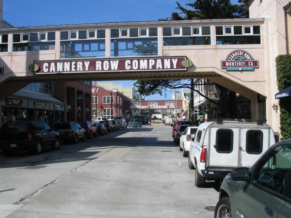
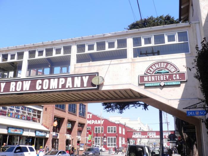
Historic area of Monterey known for its former fishing canneries.
www.monterey.org/museum/canneryrow/
www.monterey.org/museum/canneryrow/
Wikipedia article: http://en.wikipedia.org/wiki/Cannery_Row
Nearby cities:
Coordinates: 36°36'57"N 121°54'0"W
- Monterey Bay 44 km
- Santa Teresa 72 km
- Cambrian Park, California 75 km
- Willow Glen 79 km
- Hetch Hetchy Aqueduct 89 km
- Hetch Hetchy Aqueduct 98 km
- New Irvington Tunnel 105 km
- Brewer Island 112 km
- San Andreas Fault Zone 129 km
- San Francisco Bay 162 km
- Presidio of Monterey and Defence Language Institute Foreign Language Center (DLI-FLC) 1.7 km
- The Links at Spanish Bay 3.9 km
- Del Monte Forest, California 5.1 km
- Fort Ord Dunes State Park 7 km
- Bayonet & Black Horse Golf Courses 7.2 km
- Fort Ord Housing 8.2 km
- Marina State Beach 10 km
- California State University, Monterey Bay 12 km
- Fort Ord (site) 13 km
- Monterey Bay Canyon 15 km
Presidio of Monterey and Defence Language Institute Foreign Language Center (DLI-FLC)
The Links at Spanish Bay
Del Monte Forest, California
Fort Ord Dunes State Park
Bayonet & Black Horse Golf Courses
Fort Ord Housing
Marina State Beach
California State University, Monterey Bay
Fort Ord (site)
Monterey Bay Canyon
Comments