Stepantsminda
Georgia /
Mtskheta-Mtianeti /
Kazbegi /
World
/ Georgia
/ Mtskheta-Mtianeti
/ Kazbegi
World / Georgia (country) / Mtskheta-Mtianeti
town
Add category

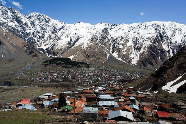
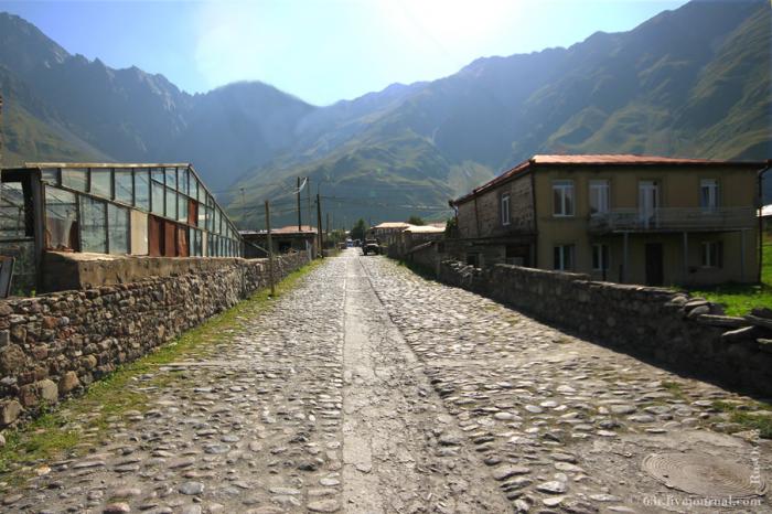
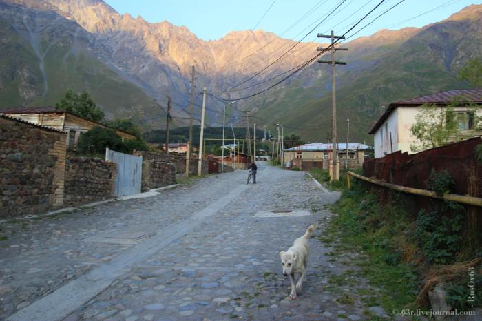
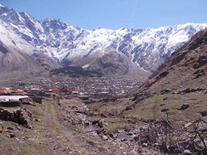
Stepantsminda (Georgian: სტეფანწმინდა; formerly Kazbegi, ყაზბეგი), is a small town in the Khevi region of northern Georgia.
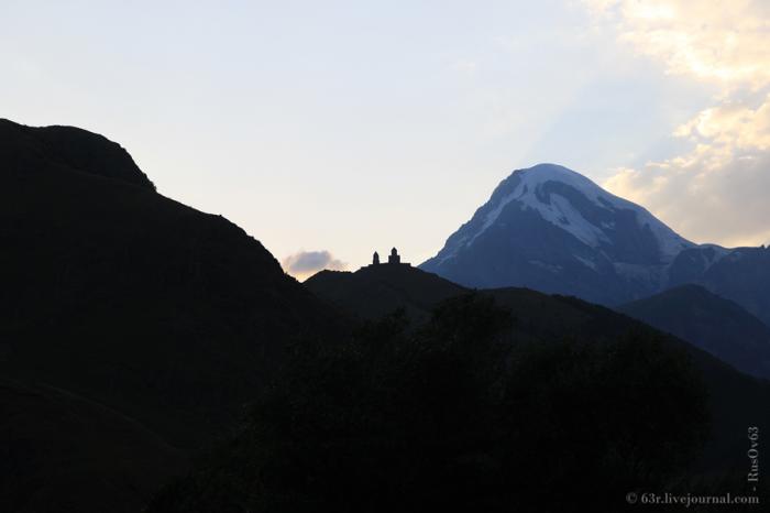
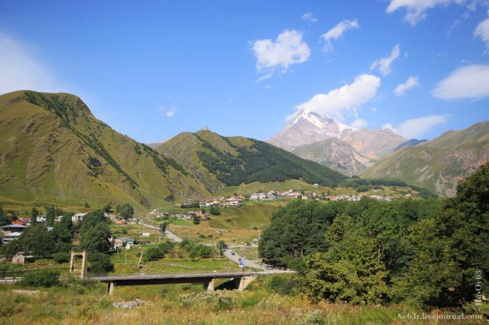
The town is located along the banks of the Thergi River, 157km. (98 miles) to the north of Tbilisi at an elevation of 1,740 meters (5,710ft.) above sea level. Stepantsminda’s climate is moderately humid with relatively dry, cold winters and long and cool summers. The average annual temperature is 4.9 degrees Celsius. January is the coldest month with an average temperature of -5.2 degrees Celsius while July is the warmest month with an average temperature of 14.4 degrees Celsius. The absolute minimum recorded temperature is -34 degrees Celsius and the absolute maximum is 32 degrees Celsius. Stepantsminda’s average annual precipitation is 790mm. (31.1in.). The town is dominated by large mountains on all sides. The most notable mountain of the region, Mt. Kazbek, lies immediately to the west of town. The second most prominent peak, Mt. Shani, rises to an elevation of 4,451 meters (14,600ft.) above sea level, 9km to the east of Stepantsminda.
Stepantsminda is the hometown of Alexander Kazbegi.
Wikipedia article: http://en.wikipedia.org/wiki/Stepantsminda
Nearby cities:
Coordinates: 42°39'23"N 44°38'46"E
- Tkibuli 141 km
- Goryachevodsky 200 km
- Inozemtsevo 207 km
- Kochubeyevskoye 324 km
- Psebay 357 km
- Mostovskoy 370 km
- Krasnaya Polyana 381 km
- Sirius 394 km
- Dagomys 423 km
- Neftegorsk 445 km
- Kistis Khevi 5.9 km
- Sioni commune 8 km
- Kazbegi District (Khevi) 10 km
- Sno Gorge 10 km
- Goristsikhe commune 10 km
- Mna Valley 14 km
- Kobi commune 17 km
- Truso valley 23 km
- Ghudi gorge (Gudauri) 26 km
- Mtiuleti 30 km
Comments