Klamath Air Force Station
USA /
California /
Klamath /
Patrick J Murphey Memorial Drive
World
/ USA
/ California
/ Klamath
World / United States / California
military, United States Air Force
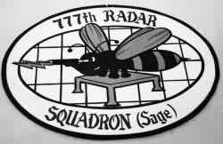
Former home of the 777th Radar Squadron (SAGE). Call sign: Engage.
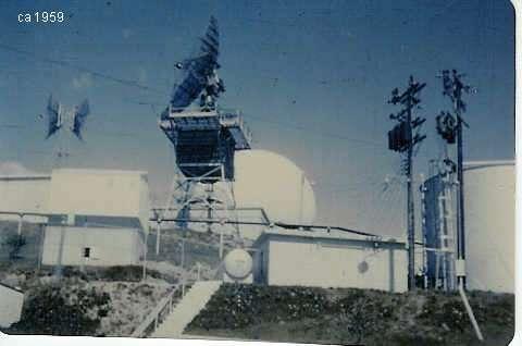
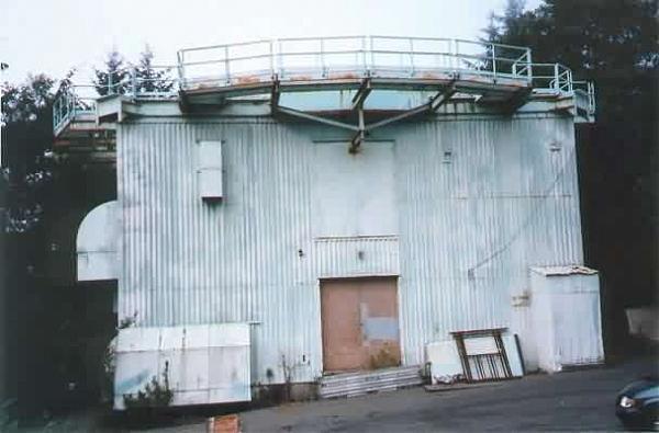
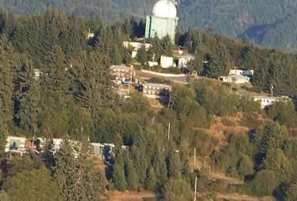
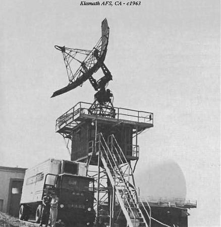
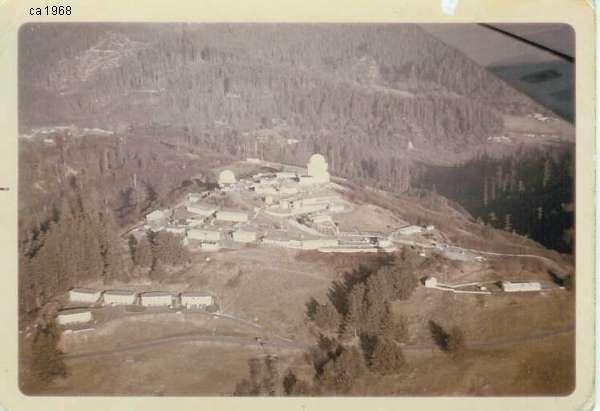
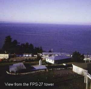
In 1951, this site was first established as a Lashup-Permanent site, LP-33, operating an AN/TPS-1B radar. The site then became a part of the Permanent radar network. Beginning in April 1952, the 777th AC&W Squadron began operating AN/FPS-3 and AN/FPS-4 radars at this northern California coastal site. In 1956 the Air Force added an AN/GPS-3 to the facility. By 1958 an AN/FPS-20 and AN/FPS-6 had replaced the initial pair of radars. During the following year, an AN/FPS-6A height-finder radar was added, later modified to an AN/FPS-90. The AN/GPS-3 was removed. During 1960 the 777th became a SAGE radar squadron. By the end of 1961, the AN/FPS-20A had been upgraded and redesignated as an AN/FPS-66. An AN/FPS-26 height-finder radar was added in the 1963/1964 time frame. By 1966 there was an AN/FPS-27 long-range search radar in operation there, and the AN/FPS-66 was subsequently retired. The site came under TAC jurisdiction beginning in 1979. In the 1980s much property was turned over to the National Park Service. The operations area became a FAA/USAF joint-use facility. In 1995, the FAA operated an AN/FPS-66A search set in the old AN/FPS-27 tower. The Klamath / Crescent City radar site has since been 'replaced' by the FAA/USAF JSS site at Rainbow Ridge, CA (J-83A), operating an ARSR-4.
www.militarymuseum.org/KlamathRadarStn.html
www.radomes.org/museum/showsite.php?site=Klamath+AFS+%2...
Wikipedia article: http://en.wikipedia.org/wiki/Semi_Automatic_Ground_Environment
Nearby cities:
Coordinates: 41°33'25"N 124°5'13"W
- Big Lagoon Bombing Range (site) 40 km
- Naval Facility Coos Head 201 km
- Camp Rilea Armed Forces Training Facility 511 km
- Fort Stevens Historic Area 518 km
- Marina 518 km
- Fort Stevens State Park 521 km
- Naselle Air Force Station (closed) 542 km
- Pacific Beach Naval Base (site) 630 km
- Wreck of USS Sailfish (SSR-572) 649 km
- "Spruce Railroad" rail bed. 725 km
- Del Norte Coast Redwoods State Park 13 km
- Prairie Creek Redwoods State Park 15 km
- Jedediah Smith Redwoods State Park 25 km
- Lake Earl Wildlife Area 32 km
- Lake Earl 32 km
- Redwood National and State Parks 33 km
- Humboldt Lagoons State Park 38 km
- Big Lagoon 42 km
- Harbor, Oregon 55 km
- McKinleyville, California 67 km