Afrin
Syria /
Hhalab /
Afrin /
World
/ Syria
/ Hhalab
/ Afrin
, 1 km from center (عفرين)
World / Syria / Aleppo
city, capital city of state/province/region
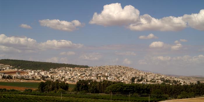
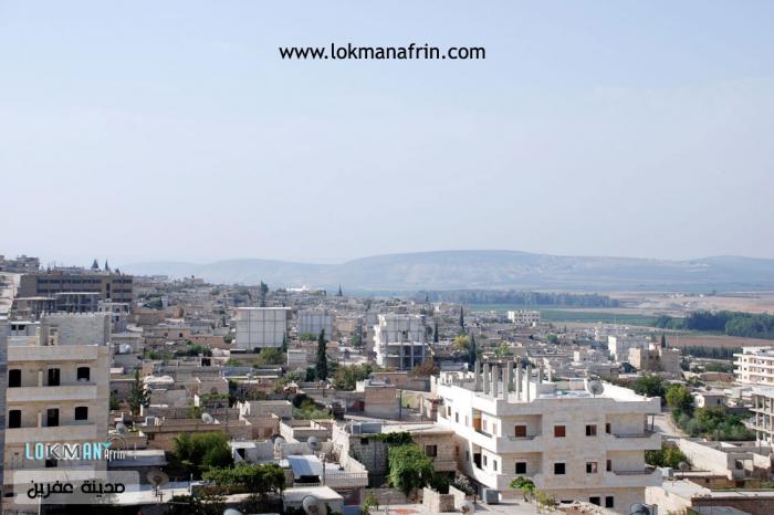
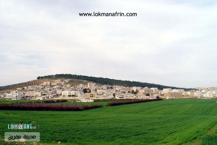
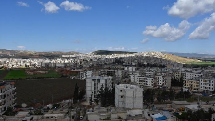
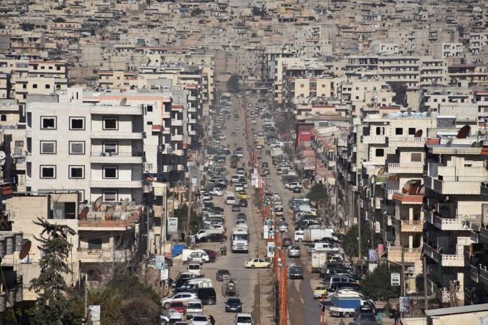
Afrin (Arabic: عفرين, romanized: ʿAfrīn or ʿIfrīn; Kurdish: Efrîn or Afrîn) is a city in northern Syria. In the Afrin District, it is part of the Aleppo Governorate. The district has a surface of 2.033 km square and e.g. consists of 7 municipalities (Afrin (center), Jinderes, Sharanli, Ma'abatli/Mabetli, Rajo, Bulbul, Sheikh el Hadid) with 366 villages like Qatma, Qastall, Qibar and Rajo. The name Afrin has a Latin/Greek origin. The city named after the Afrin River.
The town of Afrin originated in the 19th-century foundation as a market. In 1929, the number of permanent residents was merely 800, growing to 7,000 by 1968. The town was developed by France under the French mandate of Syria. The main square is Afrin bus station, and the old settlement area stretches northward on the slope of a hill, but more recently habitations have spread to the other side of the river and extend as far to the south-east as the neighboring village of Turandah.
The town of Afrin originated in the 19th-century foundation as a market. In 1929, the number of permanent residents was merely 800, growing to 7,000 by 1968. The town was developed by France under the French mandate of Syria. The main square is Afrin bus station, and the old settlement area stretches northward on the slope of a hill, but more recently habitations have spread to the other side of the river and extend as far to the south-east as the neighboring village of Turandah.
Wikipedia article: http://en.wikipedia.org/wiki/Afrin,_Syria
Nearby cities:
Coordinates: 36°30'41"N 36°51'51"E
- Kahramanmaraş Metropolitan Municipality 133 km
- Malatya Metropolitan Municipality 246 km
- Kayseri 301 km
- Ankara Metropolitan Municipality 552 km
- Alexandria 882 km
- İzmir Metropolitan municipality 915 km
- Makkah 1682 km
- Najran 2213 km
- Algiers 3026 km
- Lagos 4771 km
- Fortified compound 0.6 km
- Mahmodie Forest 1.4 km
- Taweel Hill (385 m) 1.4 km
- Mehmoudieh 1.9 km
- Kafr Shil hill (365 m) 2.6 km
- Jaysh al-Sharqiya training camp 3 km
- Operation Olive Branch 8.4 km
- Afrin Valley 11 km
- Kurd Mountains 13 km
- Simeon Mountains (862 m) 19 km