Watford
United Kingdom /
England /
Watford /
World
/ United Kingdom
/ England
/ Watford
World / United Kingdom / England
town, draw only border


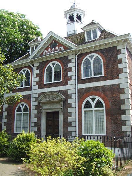
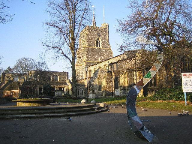


Watford is a town and district in Hertfordshire, England, situated 20 miles (32 km) northwest of central London and within the bounds of the M25 motorway. The borough is separated from Greater London to the south, by the urban parish of Watford Rural in the Three Rivers District. The nearby areas of Bushey, Rickmansworth, Chorleywood, Kings Langley, Abbots Langley and South Oxhey, located in Three Rivers and Hertsmere districts, also form part of the Watford postcode area. The most recent official estimates put the population of Watford at 79,600 at mid-2006. The borough had 79,726 inhabitants at the time of the 2001 Census. The Watford urban area, which includes much of neighbouring Three Rivers, had a total population of 120,960 in the 2001 census, making it the 47th largest urban area in England. Watford was created as an urban district under the Local Government Act 1894, and became a municipal borough by grant of a charter in 1922.
Wikipedia article: http://en.wikipedia.org/wiki/Watford
Nearby cities:
Coordinates: 51°40'10"N -0°24'15"E
- Slough 23 km
- Luton 30 km
- Oxford 64 km
- Basingstoke 66 km
- Northampton 78 km
- Swindon 101 km
- Solihull 133 km
- Gloucester 133 km
- Bournemouth 146 km
- Bristol 159 km
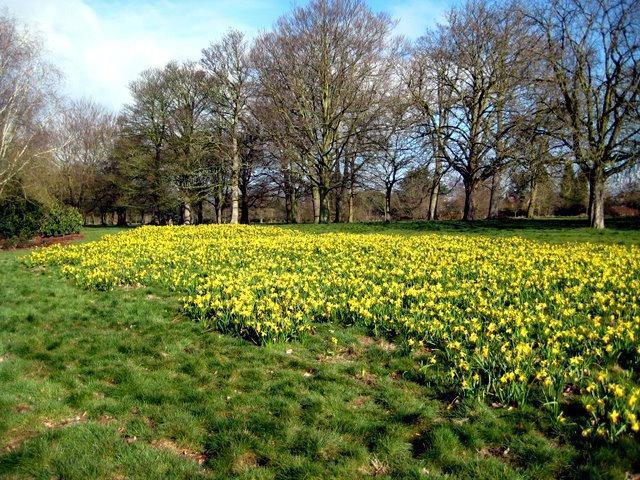
- Cassiobury Park 1.4 km
- West Herts Golf Club 2 km
- Whippendell Woods 3 km
- Carpenders Park 5.1 km
- South Oxhey 5.2 km
- Moor Park 5.3 km
- Moor Park Golf Club 5.6 km
- Northwood 6.8 km
- Harrow Council 9 km
- London Borough of Hillingdon 14 km
Comments