London Borough of Hillingdon
United Kingdom /
England /
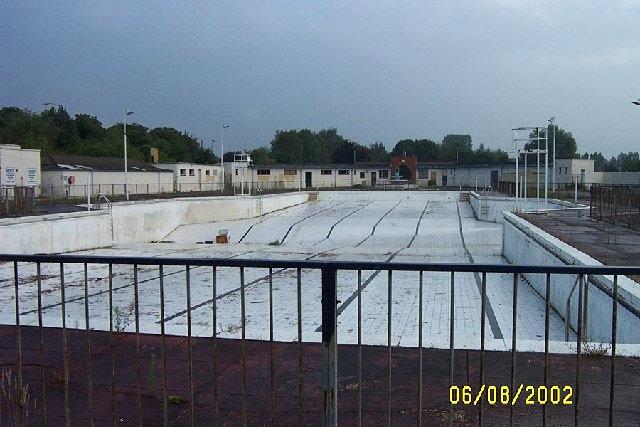
Harefield /
World
/ United Kingdom
/ England
/ Harefield
World / United Kingdom / England
borough, draw only border, third-level administrative division
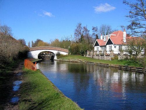

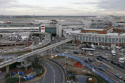
The London Borough of Hillingdon has a population of 250,000 and includes Uxbridge (where the council is based), Hillingdon, Hayes, Ruislip, Northwood, Yeading and Heathrow Airport. It has one main village, Harefield which adjoins the Northwood Hills/Ruislip Woods area of the Metropolitan Green Belt and smaller 'Heathrow villages' which are Sipson, Harlington and Harmondsworth. It is also home to the Brunel University and is the westernmost borough of London. Keith Joseph, Local Government Cabinet Minister selected it to be named 'Uxbridge' following absorption of smaller urban and metropolitan districts but the two ancient parishes were the most interwoven in London, having many exclaves and enclaves and the urban councils preferred Hillingdon so as not to concentrate too much emphasis on Uxbridge, having increasingly a smaller size and population than larger Hayes and Ruislip. An outer borough, Ickenham and West Drayton join the villages in being green-buffered small districts, the latter of which is more mid-rise.
www.hillingdon.gov.uk/
www.hillingdon.gov.uk/
Wikipedia article: http://en.wikipedia.org/wiki/London_Borough_of_Hillingdon
Nearby cities:
Coordinates: 51°32'36"N -0°26'26"E
- London Borough of Barnet 16 km
- London Borough of Croydon 24 km
- Borough of Basingstoke and Deane 73 km
- Solihull (Metropolitan Borough) 146 km
- Sandwell 161 km
- Dudley (Metropolitan Borough of) 165 km
- Walsall (Metropolitan Borough of) 167 km
- Stafford 209 km
- Newcastle-under-Lyme Borough 223 km
- Metropolitan Borough of Rotherham 229 km
- Oak Wood School 0.7 km
- Hillingdon Park 1 km
- Hillingdon 1.3 km
- Hillingdon Golf Club 1.8 km
- (site of)RAF Uxbridge 1.9 km
- Uxbridge High School Grounds 2.5 km
- North Uxbridge 2.6 km
- Uxbridge Town Centre 2.6 km
- Hayes 3.4 km
- Buckinghamshire 42 km