Knyazheski Island
Romania /
Mehedinti /
Pristol /
World
/ Romania
/ Mehedinti
/ Pristol
island
Add category
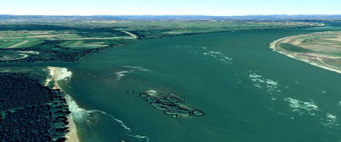
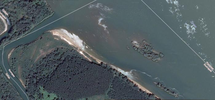
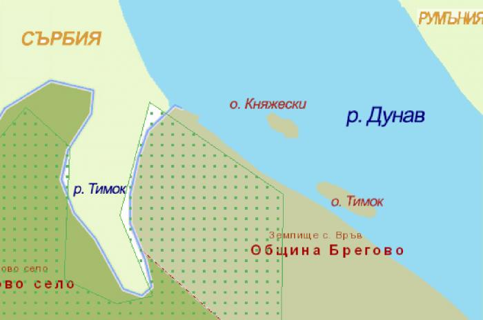
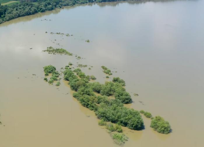
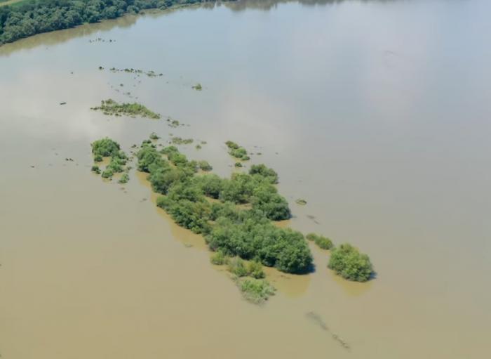
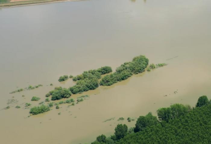
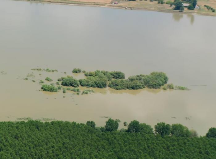
The island max spread around 110 x 240 m and have max aria circa 21,000 sq m, altitude 31-:-32 m. it lay to the bulgarian side at 846 km of the Danube river in "Timok" protected natural zone BG0000525. In times of very low flow of the waters island may become a coast distanced peninsula, In times of high flow big parts of the island are under the water. Usual: winter -1, -5°С, summer +17, +24°С. The island stay 140 m from the bulgarian coast, 150 m north of the island named "Timok", 450 m south-east from Timok river mouth in the Danube and 500 m from tree-borders point in the great river - conjunction point of the Bulgarian, Romanian and Serbian water borders.
Nearby cities:
Coordinates: 44°12'42"N 22°40'35"E
- Ostrovu Mare 26 km
- Gatanu Island 71 km
- Tsibar/Ibisha Island 78 km
- Kozloduy Island 93 km
- Kopanitsa island 98 km
- Papadia island 125 km
- Calnovăţ Island 169 km
- Belene (Persin) Island 204 km
- Golyama Barzina Island 206 km
- Gengina Island 217 km
- Former island, now peninsula 0.8 km
- Cemetery 1.9 km
- Cemetery 3.6 km
- Cemetery 6.6 km
- Waste depot 6.7 km
- border police 7.8 km
- Bregovo Municipality 10 km
- Novo Selo Municipality 12 km
- Municipality of Negotin 20 km
- Vidin Region 46 km