Jezioro Mietkowskie
| reservoir, 1986_construction
Poland /
Dolnoslaskie /
Swidnica /
World
/ Poland
/ Dolnoslaskie
/ Swidnica
World / Poland / Lower Silesian
reservoir, 1986_construction
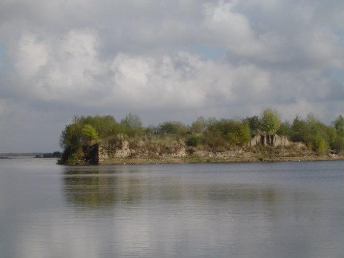

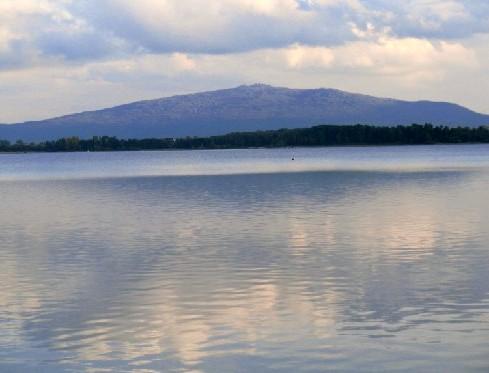
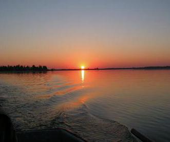
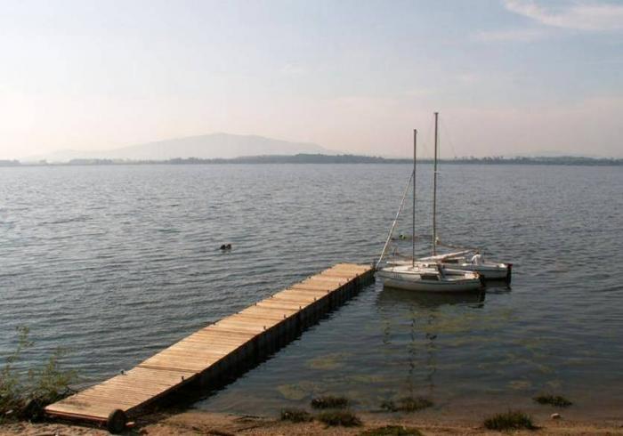
The lake has a surface area 9.29 km ² lagoon and capacity of 65 million cubic meters (according to some data - up to 70.5 million m³) and a maximum depth of 13 meters.
Its construction began in 1974, and filling the reservoir was completed in 1986. Earth and concrete dam has a length of 3.2 km and height of 17 m. The lake serves as a storage reservoir. From the bottom of the lake is also mined aggregate.
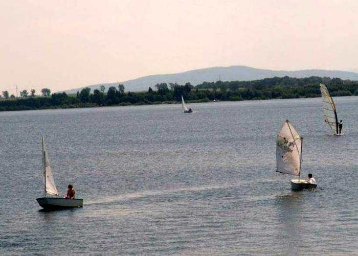
Mietkowskie Lake is an attractive reservoir for a variety of water sports, mainly due to the size of the tank (length of 4 km, width 2.5 km) and the prevailing throughout the season a perfect wind conditions.
Mietkowskie lake is also the largest area of angling on the Lower Silesia, valued for appearing in large quantities zander and bream and perch. They come here as pike, carp, tench, Krapi, less often - the sum. The lake also live beavers.
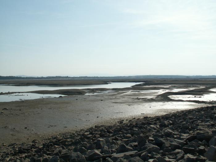
*** Currently, renovations are carried no water in the lake ***
Its construction began in 1974, and filling the reservoir was completed in 1986. Earth and concrete dam has a length of 3.2 km and height of 17 m. The lake serves as a storage reservoir. From the bottom of the lake is also mined aggregate.
Mietkowskie Lake is an attractive reservoir for a variety of water sports, mainly due to the size of the tank (length of 4 km, width 2.5 km) and the prevailing throughout the season a perfect wind conditions.
Mietkowskie lake is also the largest area of angling on the Lower Silesia, valued for appearing in large quantities zander and bream and perch. They come here as pike, carp, tench, Krapi, less often - the sum. The lake also live beavers.
*** Currently, renovations are carried no water in the lake ***
Wikipedia article: http://pl.wikipedia.org/wiki/Jezioro_Mietkowskie
Nearby cities:
Coordinates: 50°57'25"N 16°37'1"E
- Slup Lake 39 km
- Żelazny Most Reservoir 71 km
- Valley Dam Rozkoš 74 km
- Vir I Reservoir 155 km
- Želivka 175 km
- Slapy Reservoir 211 km
- Orlik Reservoir 232 km
- Nechranice Valley Reservoir 243 km
- Prisecnice Valley Dam 252 km
- Zlutice Reservoir 268 km
- Sklep "Pod winogronem" 4.2 km
- Castle park 4.2 km
- Castle 5.5 km
- Park and Palace complex 5.5 km
- Kalno-Wostówka 6.9 km
- wather 7.6 km
- Cemetery 8.1 km
- Dzielnica Sobótki powstała po połączeniu Górki z Strzeblówem 8.9 km
- Massif of Ślęża 13 km
- Gmina Kąty Wrocławskie 17 km
Comments