Tugubong
Korea (South) /
Kangwon /
Samchok /
World
/ Korea (South)
/ Kangwon
/ Samchok
peak
Add category
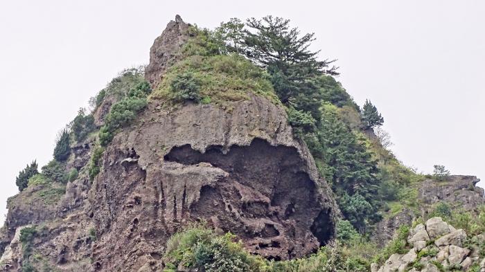
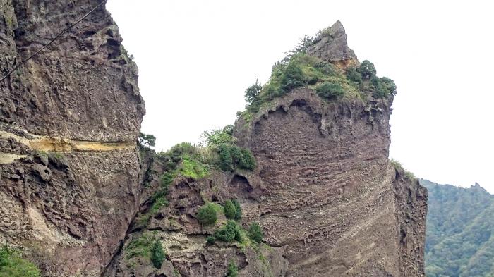
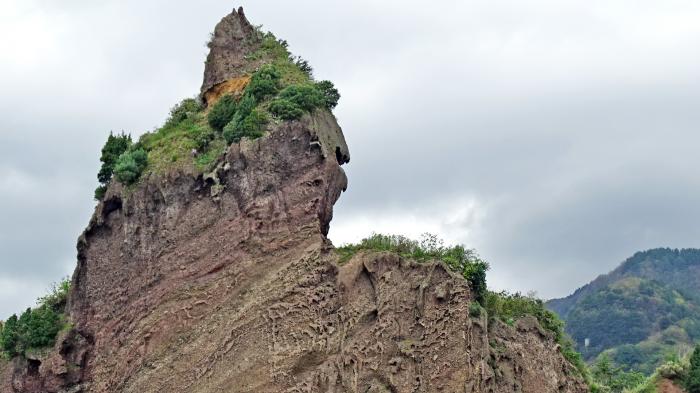
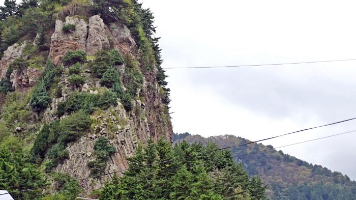
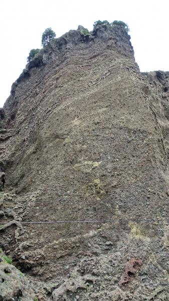
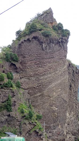
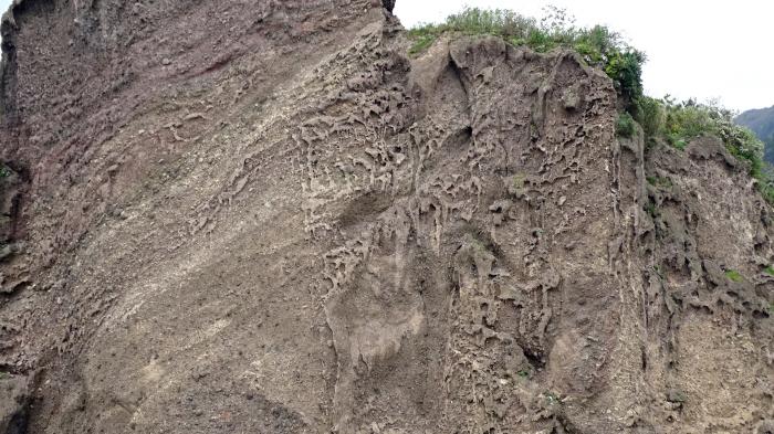
Legend has it that Tugubong was named during the battle between Silla and Usanguk (an ancient kingdom that occupied Ulleungdo). It is said that a general of Usanguk, which lost the battle with Silla, took off his helmet as a sign of surrender on this peak. Tugu refers to the helmet, and bong means a peak. Tugubong Peak is 171m/561ft high.
Nearby cities:
Coordinates: 37°27'58"N 130°50'22"E
- Seonginbong 4.5 km
- Ulleungdo (Ulleung Island) 4.2 km
- Seonginbong 4.2 km
- The Pristine Forest at Seongin Peak 5.4 km
- Location of the loss of the cruiser "Svetlana" 103 km
- KHNP, Hanul Nuclear Power Plant 136 km
- Hupo-myeon 151 km
- Tonghae Satellite Launching Station 391 km
- Hwadae-gun (Hwadae County) 392 km
- Myŏngch'ŏn-gun (Myonchon County) 415 km
- Kilju-gun (Kilju County) 423 km