Aleksandar Stamboliyski Park (Stara Zagora)
| 1959_construction
Bulgaria /
Stara Zagora /
Stara Zagora
World
/ Bulgaria
/ Stara Zagora
/ Stara Zagora
, 1 km from center (Стара Загора)
World / Bulgaria / Stara Zagora
park, 1959_construction


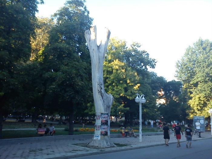
The park was created in 1959 and it is another charming place for relaxation and a pleasant stroll.
The inhabitants of the city call the park 'Alan' or 'Zhiten Alan' (Wheat Square), which refers to the time in the history of the park when it was a place for trading wheat. The Turkish word for square - 'alan' is at the origin of the Park's name.
starazagora.love/en/feel-the-nature/park-gardens/aleksa...
Nearby cities:
Coordinates: 42°25'33"N 25°38'0"E
- Branitelite na Stara Zagora Park 1.9 km
- Zagorka Park 3.1 km
- Mitropolit Metоdiy Kusev (Ayazmoto) Pаrk 3.6 km
- Deroni Gardens 6.4 km
- "Bozduganovska Koria" Protected Site 10 km
- "Gora Topolyane" PZ 22 km
- Vineyard 33 km
- "Yazovir Rozov Kladenets" PZ 33 km
- Maritsa Park 40 km
- Penyo Penev Park 42 km
- Central Area 0.1 km
- "Orbita" District 0.2 km
- Pedestrian Zone 0.3 km
- Rоmain Rolland School of Foreign Languages 0.4 km
- Geo Milev Quarter 0.5 km
- Opalchenski Quarter 0.7 km
- Sоuthern Industrial Zone 1.5 km
- Stara Zagora Region 3.4 km
- Stara Zagora Municipality 6.8 km
- Upper Thracian Plain 37 km