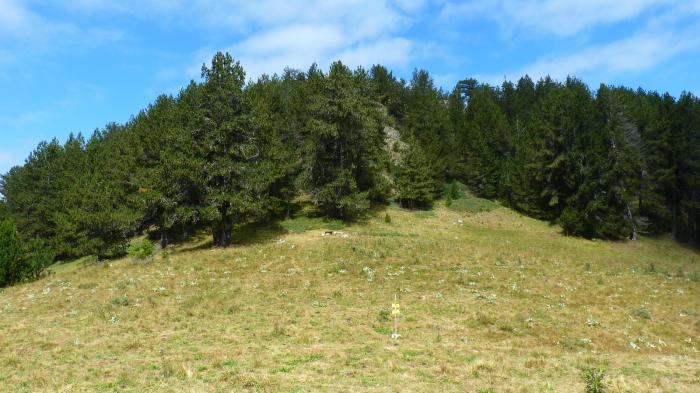
Livadata Locality
Bulgaria /
Blagoevgrad /
Goce Delcev /
World
/ Bulgaria
/ Blagoevgrad
/ Goce Delcev
, 24 km from center (Гоце Делчев)
urochishte (stow), invisible


Nearby cities:
Coordinates: 41°23'49"N 23°36'29"E
- Slavyanka/Orvilos Mountain 11 km
- Piperska Koria Locality 15 km
- Menikio mountain 17 km
- Mount Vrodou 19 km
- A25 Exit 16 Nèo Petritsi 26 km
- Kozhuha Hill 31 km
- Kozhuha Natural Monument 31 km
- A25 Exit 10 Christos 33 km
- A25 Exit 6A Nigrita - Herakleia 45 km
- Serres (regional unit) 61 km
- Shabran Peak – 2,195.3 m 1.8 km
- Gotsev Peak - 2,212.6 m 2.4 km
- Golyam Tsarev Peak - 2,183.2 m 2.7 km
- Ali Botush Reserve 2.9 km
- Izvora Hut 4.6 km
- Karst Spring Petrovo 4.9 km
- Angistro Mountain 15 km
- Hadzhidimovo Municipality 20 km
- Sandanski Municipality 24 km
- Peripheral Unit of Drama 52 km