Preston Station (Louisville-Jefferson County, Kentucky)
USA /
Kentucky /
Audubon Park /
Louisville-Jefferson County, Kentucky /
Preston Highway (KY-61), 4041
World
/ USA
/ Kentucky
/ Audubon Park
building, mixed-used building, 2002_construction, 2000s construction
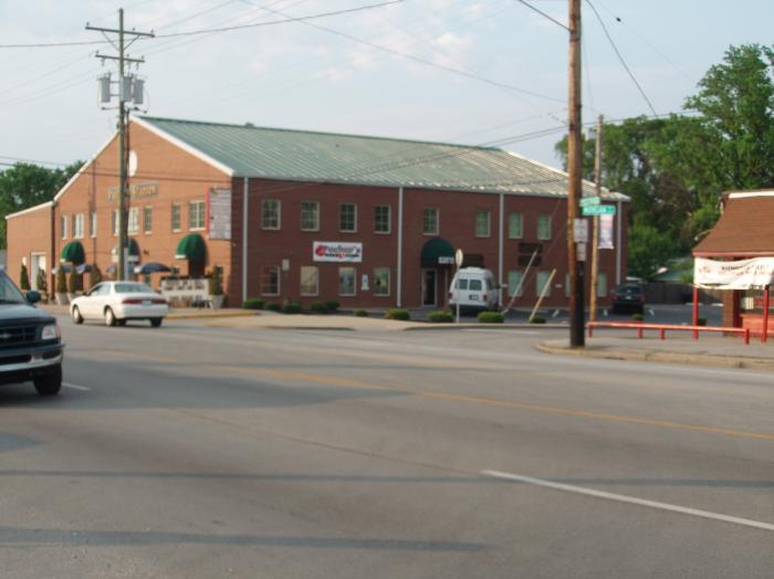
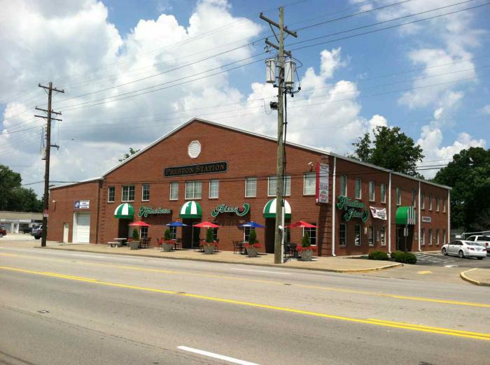
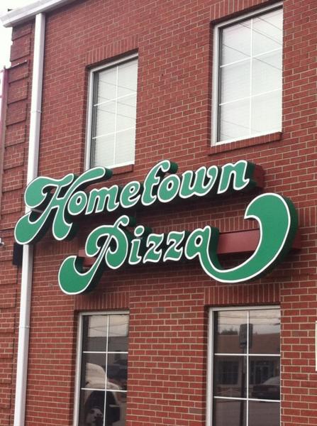
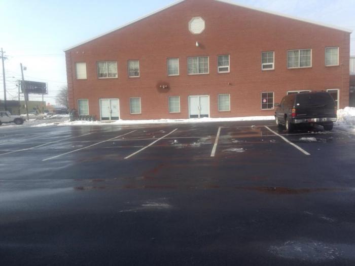
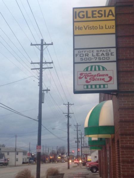
15,000 square foot 4-in-1 mixed used building, constructed in 2002PB. Only one space vacant as of 2016DC, currently occupied by a pizzeria, medical offices, and a small Spanish-speaking Christian church on the second floor.
Find out more
www.loopnet.com/Listing/17864086/4041-Preston-Hwy-Louis...
www.loopnet.com/Listing/16186675/4041-Preston-hwy-Louis...
Find out more
www.loopnet.com/Listing/17864086/4041-Preston-Hwy-Louis...
www.loopnet.com/Listing/16186675/4041-Preston-hwy-Louis...
Nearby cities:
Coordinates: 38°11'36"N 85°43'42"W
- The Park At Hurstbourne 11 km
- Mall St. Matthews 11 km
- Green Tree Mall 14 km
- Fayette Mall 107 km
- The Summit at Fritz Farm 108 km
- Dermont Commercial District 126 km
- Highway 54 Commercial District 128 km
- South Frederica Commercial District 134 km
- West Parrish Commercial District 134 km
- Logan Aluminum 175 km
- Prestonia neighborhood 0.4 km
- Kentucky Fair and Exposition Center 1.3 km
- Louisville International Airport - Standiford Field (IATA: SDF, ICAO: KSDF) 2.3 km
- Louisville Muhammad Ali International Airport 2.6 km
- UPS Worldport 3.1 km
- University of Louisville Belknap Campus 3.5 km
- Greater Louisville Technology Park 3.9 km
- CSX Railroad - Osborn Yard 4.9 km
- Outer Loop Landfill 6.1 km
- Iroquois Park 6.3 km
Prestonia neighborhood
Kentucky Fair and Exposition Center
Louisville International Airport - Standiford Field (IATA: SDF, ICAO: KSDF)
Louisville Muhammad Ali International Airport
UPS Worldport
University of Louisville Belknap Campus
Greater Louisville Technology Park
CSX Railroad - Osborn Yard
Outer Loop Landfill
Iroquois Park