Southern Decumanus
Jordan /
Jaras /
World
/ Jordan
/ Jaras
/ Jaras
, 1 km from center (جرش)
road, Roman Empire, colonnade
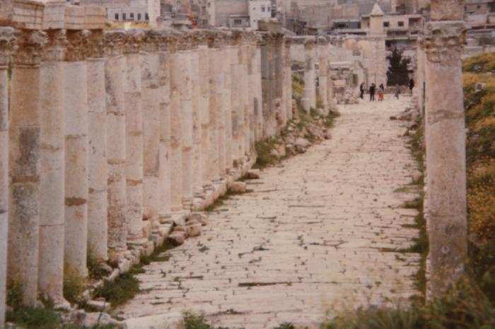
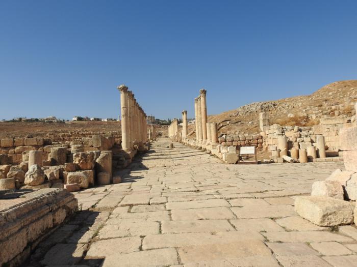
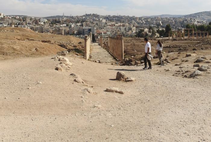
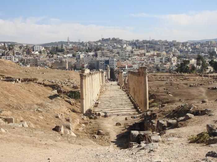
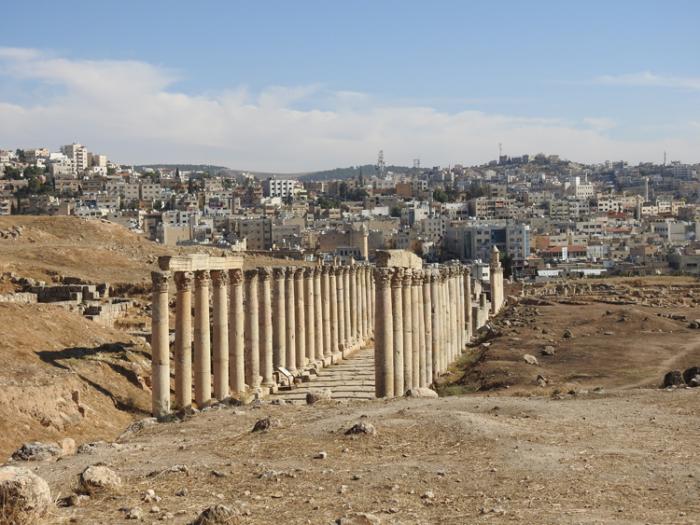
southern main west-east axis of ancient Geresa
Nearby cities:
Coordinates: 32°16'47"N 35°53'25"E
- Petroleum Road 96 km
- mara'ba road 149 km
- Mostly-completed section of road 251 km
- Completed section of road 254 km
- Unfinished section of road 258 km
- Road being widened 261 km
- Unfinished section of road 272 km
- Road to Aleppo Int. Airport 454 km
- Diyarbakır Railway 743 km
- Jurf Al Sakhar 765 km
- Temple of Dionysus/ The Cathedral 0.1 km
- Temple of Artemis 0.2 km
- Walled perimeter of Ancient Jerash 0.2 km
- Gerasa 0.2 km
- Cardo Maximus 0.3 km
- املاك د. وصفي الحوامده 0.6 km
- Wadi Al-Daer Al-Garbi Elementary School for Girls and Boys 0.8 km
- Jerash 0.9 km
- Jerash Governorate 5 km
- Ajloun governorate 12 km