World War II Marker (Marikina)
| historical marker
Philippines /
Southern Tagalog /
Malanday /
Marikina /
Shoe Avenue
World
/ Philippines
/ Southern Tagalog
/ Malanday
historical marker
Add category
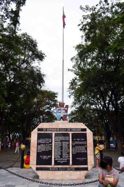
In memory of heroes in Bataan & Corregidor during World War II.
Nearby cities:
Coordinates: 14°37'58"N 121°5'52"E
- People Power Monument 5.5 km
- Birthplace of Dr. Pío Valenzuela 19 km
- La Casa de Doña Ana 76 km
- Luzon Datum of 1911 Rock Marker (Geodetic Center of The Philippines) 145 km
- WWII Memorabilia Ground Site 182 km
- 66th Infantry Loop 205 km
- Former outer moat of Takamatsu castle 2551 km
- Namsangol Hanok Village and Time Capsule Square 2618 km
- Time Capsule Square 2618 km
- Historic Marker 2774 km
- New Marikina Subdivision 0.4 km
- Blue Wave at Marquinton 0.5 km
- Mt. View Village 0.7 km
- Purok Kabayani 0.8 km
- Marikina East Subdivision 0.9 km
- Provident Village 1 km
- Marikina River Park 1.1 km
- Diliman 5.2 km
- Marikina Watershed 14 km
- Rizal 21 km