Abele
France /
Nord-Pas-de-Calais /
Godewaersvelde /
World
/ France
/ Nord-Pas-de-Calais
/ Godewaersvelde
draw only border
Add category
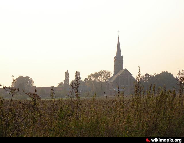
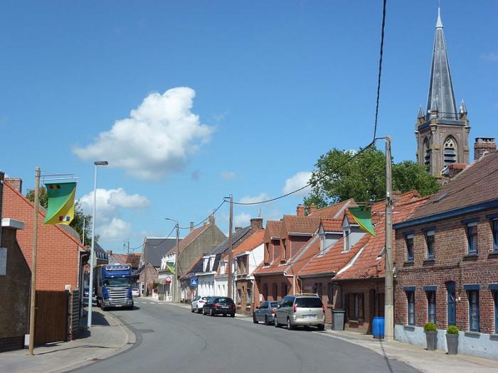

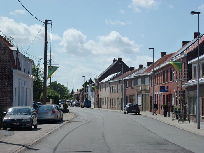
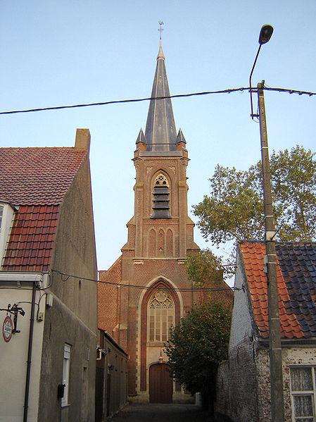
Abele (also spelled Abeele) is a small village or hamlet in the city of Poperinge, in the Belgian province of West-Flanders. The village is located on the territory of Poperinge proper and its "deelgemeente" Watou, but is also partly located on French territory. Abele has about 600 inhabitants, of whom about 100 are French. The main street coincides with the border between Belgium and France, so houses located on different sides of the street are located in a different country.
Wikipedia article: http://en.wikipedia.org/wiki/Abele
Nearby cities:
Coordinates: 50°49'17"N 2°39'58"E
- Poperinge (municipality) 14 km
- Vleteren (municipality) 15 km
- Beveren 17 km
- Reninge 19 km
- Lo-Reninge (municipality) 22 km
- Alveringem (municipality) 25 km
- Veurne 30 km
- Veurne (municipality) 32 km
- De Panne (municipality) 34 km
- Nieuwpoort 38 km
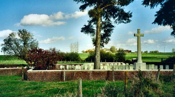
- Lijssenthoek Military Cemetery 2.6 km
- Mont des Cats Abbey 4.1 km
- Poperinghe New Military Cemetery 5.5 km
- Sportpark Don Bosco 5.7 km
- Ferme Cappoen (parc départemental Marguerite Yourcenar) 6.5 km
- Mont-Noir 6.7 km
- Moto Cross 9 km
- La Clytte Camp, World War I 10 km
- La Clytte Military Cemetery 10 km
- Bailleul Communal Cemetery and Extension 11 km