Reninge
Belgium /
West-Flandern /
Lo-Reninge /
World
/ Belgium
/ West-Flandern
/ Lo-Reninge
World / Belgium / Vlaanderen / West-Vlaanderen / Diksmuide
village, draw only border
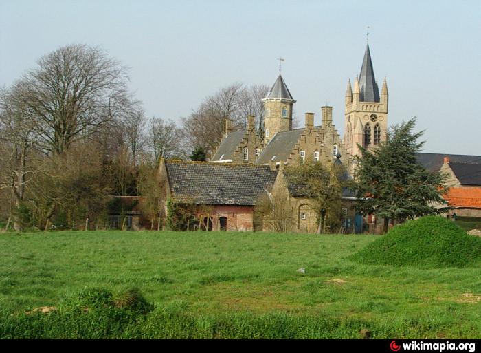
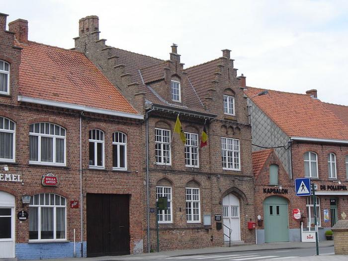


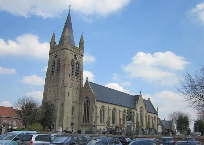

Reninge is a town in north-west Belgium in the province of West Flanders with approximately 1,000 inhabitants. Since the reforms of 1977, it is located in the municipality of Lo-Reninge and is part of the Arrondissement of Diksmuide. Its postcode is B-8647.
See also[edit]
See also[edit]
Wikipedia article: https://en.wikipedia.org/wiki/Reninge
Nearby cities:
Coordinates: 50°56'29"N 2°47'15"E
- Vleteren (municipality) 7.1 km
- Lo-Reninge (municipality) 11 km
- Poperinge (municipality) 13 km
- Beveren 14 km
- Alveringem 14 km
- Alveringem (municipality) 18 km
- Veurne 21 km
- Veurne (municipality) 23 km
- Nieuwpoort 25 km
- De Panne (municipality) 26 km
- Belgian Military Cemetery, Westvleteren 5 km
- The Abbey of Saint Sixtus Westvleteren 6.8 km
- Dozinghem military Cemetery CWGC 8.1 km
- Bardelenbos 8.5 km
- De Lovie dom 9 km
- Eikhoek 9 km
- Area Poperinge Railway station 10 km
- Brandhoek 10 km
- Mendinghem Military Cemetery CWGC 11 km
- Nine Elms British Cemetery CWGC 12 km