Mont-Noir
France /
Nord-Pas-de-Calais /
Saint-Jans-Cappel /
World
/ France
/ Nord-Pas-de-Calais
/ Saint-Jans-Cappel
France / World / Nord-Pas-de-Calais / Nord / Dunkerque / Steenvoorde
hill
Add category
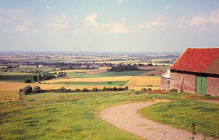
One of the 'Mountains of Flanders' alt 152m Situated on the Franco-Belgian border
Nearby cities:
Coordinates: 50°46'45"N 2°44'1"E
- Caterpillar 14 km
- Koppenberg 59 km
- Sharpeville Hills 183 km
- Sint Pietersberg 207 km
- Wandlebury 235 km
- Bénerville Batterie Mt Canisy 250 km
- Hill 578 258 km
- Artifical hill Sophienhöhe 260 km
- Hürfed Halde 314 km
- Asse 568 km
- Moto Cross 2.6 km
- Mont des Cats Abbey 4.9 km
- Bailleul 5.3 km
- La Clytte Camp, World War I 5.4 km
- Lijssenthoek Military Cemetery 6 km
- Godewaersvelde 6.7 km
- Abele 6.7 km
- Heuvelland 7.4 km
- Poperinge (municipality) 10 km
- Ypres (municipality) 14 km