Eretria (Acropolis)
Greece /
Evvoia /
Eretria /
World
/ Greece
/ Evvoia
/ Eretria
, 1 km from center (Ερέτρια)
ruins, ancient, citadel, place with historical importance, archaeological site, fortification
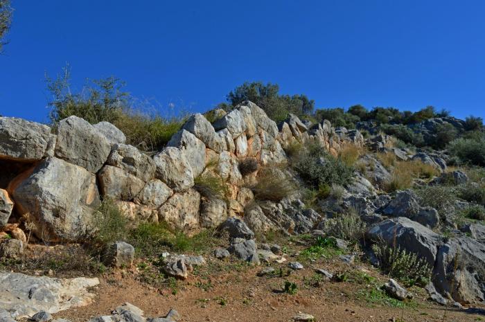
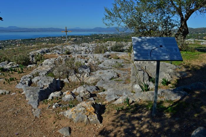
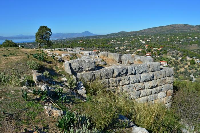
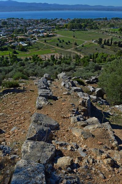


This early settlement at Eretria was moved to the top of the Acropolis in the Middle Helladic period (2000-1600 BC), because the plain was flooded by the nearby lagoon. In the Late Helladic period (1600-1100 BC), the population dwindled and the remains found so far have been interpreted as an observation post. The site was abandoned during the Dark Ages.
Wikipedia article: http://en.wikipedia.org/wiki/Eretria
Nearby cities:
Coordinates: 38°24'3"N 23°47'42"E
- Ancient Wall of Dema 37 km
- Thiseio District 48 km
- Ancient Haliartos 62 km
- Diolkos Corinth (Railway) 89 km
- Anifitsa 96 km
- Thronium 104 km
- Archaeological site of Delphi 114 km
- Mycenaean Road 118 km
- Thermopylae 118 km
- Μount Parnassus 128 km
- Kastelli Hill 0.1 km
- Ancient Eretria 0.4 km
- Park 0.7 km
- Football (soccer) Field 0.8 km
- Hotel Grand Bleu 1.3 km
- Dream Island 2 km
- Trinity island 2.5 km
- Palmariva Eretria Beach Hotel 4* 2.9 km
- Airotel Malaconda Beach - B class 3.4 km
- South Gulf of Euboea 10 km