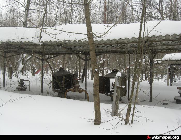
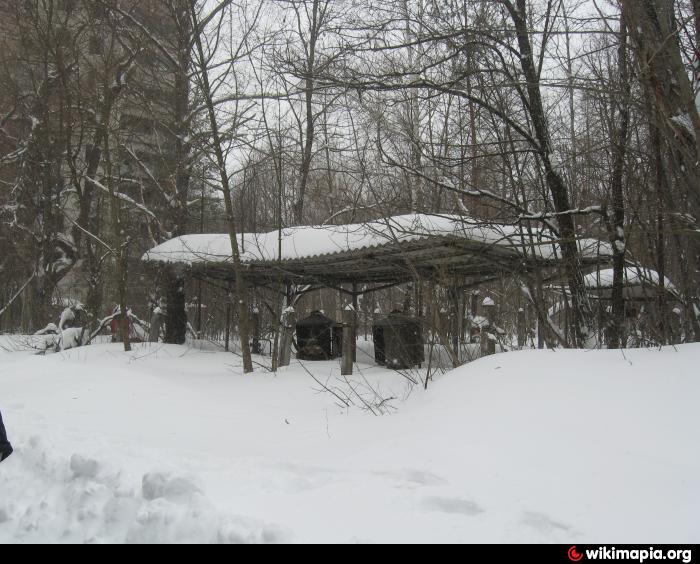
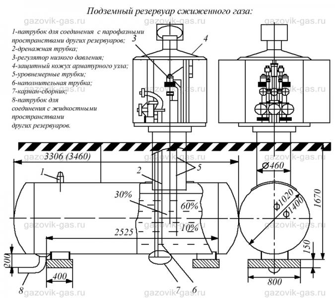
Underground gas tank & distribution station (Prypiat)
Ukraine /
Kyyivska /
Prypyat /
Prypiat
World
/ Ukraine
/ Kyyivska
/ Prypyat
, 4 km from center (Припьять)
abandoned / shut down, gasometer / gas holder, gas distribution station

Nearby cities:
Coordinates: 51°23'57"N 30°3'40"E
- Chornobyl Nuclear Power Plant 2 km
- Insulated heating pipes 2.1 km
- Kopachi 5.4 km
- Air defence base territory 8.2 km
- Chornobyl-2 Military Camp 10 km
- Phased antenna array 10 km
- Chornobyl-2 "Russian Woodpecker" - OTH Radar of type "DUGA-1" 10 km
- Smarahdove (Izumrudnoie) Recreation Facility Burned 10 km
- Abandoned Farm 14 km
- Concrete plant 15 km
- Yanіv 1 km
- Swamp 1.4 km
- The Red Forest 1.7 km
- Khutir Pidlisnyi (Khutir Yaniv) (former village) 2.1 km
- 330 kV transmission line 2.6 km
- 750 kV Switchyard 3.1 km
- Outdoor Switchyards of the Chernobyl NPP 3.3 km
- Lake Azbuchin 3.4 km
- Chornobyl Nuclear Power Plant 4.1 km
- Chornobyl Exclusion Zone 14 km