Smarahdove (Izumrudnoie) Recreation Facility Burned
Ukraine /
Kyyivska /
Prypyat /
World
/ Ukraine
/ Kyyivska
/ Prypyat
, 9 km from center (Припьять)
abandoned / shut down, wildfire affected area, holiday camp
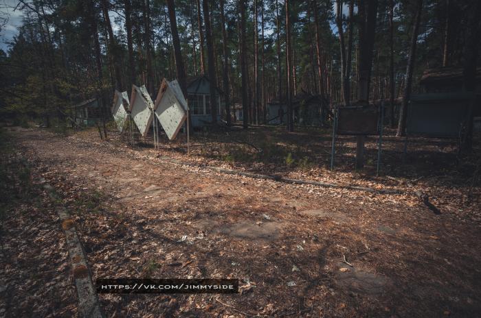
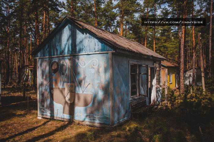
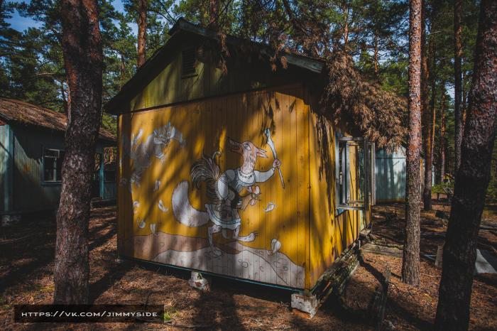
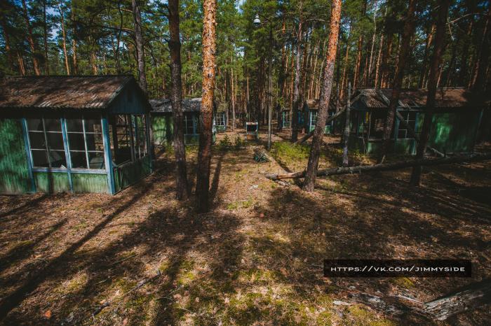
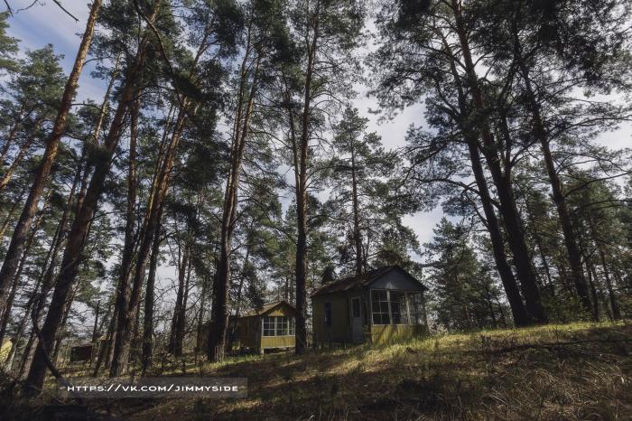
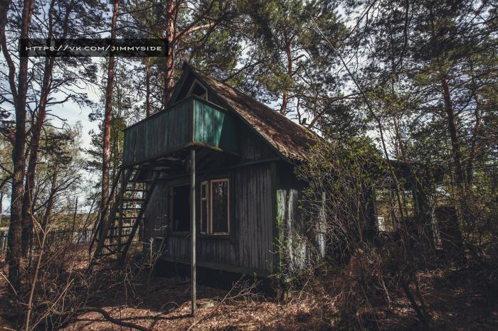
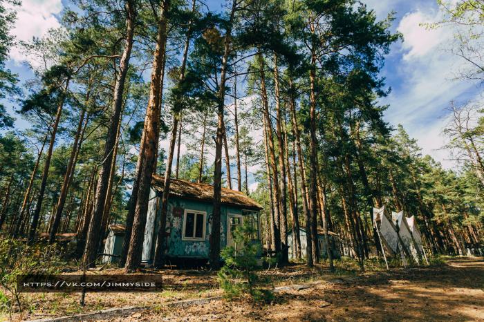
Former country park. In the USSR times such facilities usually were called 'recreation bases'.
Burned down on April 9, 2020.
Burned down on April 9, 2020.
Nearby cities:
Coordinates: 51°19'34"N 30°9'34"E
- Air defence base territory 3.3 km
- Abandoned Farm 3.3 km
- Concrete plant 4.3 km
- Kopachi 5.3 km
- Chornobyl-2 Military Camp 6.4 km
- Phased antenna array 7.2 km
- Chornobyl-2 "Russian Woodpecker" - OTH Radar of type "DUGA-1" 7.3 km
- Insulated heating pipes 9 km
- Chornobyl Nuclear Power Plant 9 km
- Lisove 10 km
- Leliv 2 km
- Leliv Decontamination station 2.7 km
- Chernobyl Cooling Pond Island 2.7 km
- Cooling pond 3.3 km
- Zhyrvanka Forest 4.4 km
- The kalininskoe gremovo tract 4.6 km
- Concrete plant 4.7 km
- Koshivka 5.6 km
- Backwater 6.1 km
- Chornobyl Exclusion Zone 17 km