Leliv
Ukraine /
Kyyivska /
Chornobyl /
World
/ Ukraine
/ Kyyivska
/ Chornobyl
, 8 km from center (Чорнобиль)
World / Ukraine / Kiev
wildfire affected area, ghost town
Abandoned circa 1986 due to Chernobyl disaster radiation. This is the settlement called Leliv. A checkpoint by the same name is to the south.
Existed until 1999.
A former village in Ukraine, located in the Chornobyl district of Kyiv Oblast, it was officially removed from records due to the evacuation of its residents following the Chornobyl disaster. It was situated 9 km from the power plant and was previously administratively subordinate to the Kopachi village council of the Chornobyl district.
The first written mention of the village dates back to 1648 when it already had 27 households. The name originates from the nocturnal bird "lelyak" (European nightjar).
Until 1832, the village belonged to the Shepelychi estate of the Ovruch Basilian Monastery.
In 1887, the village had a population of 480, and by 1900, it had grown to 631 residents. A literacy school was in operation at that time.
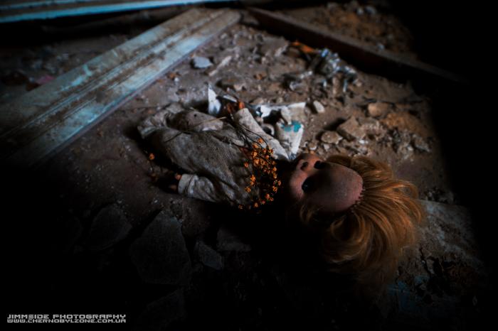
Before the Chornobyl disaster, the village had about 1,000 residents. It was completely evacuated due to severe radioactive contamination and was officially removed from records in 1999. The residents were relocated to the village of Nedra in the Baryshivka district.
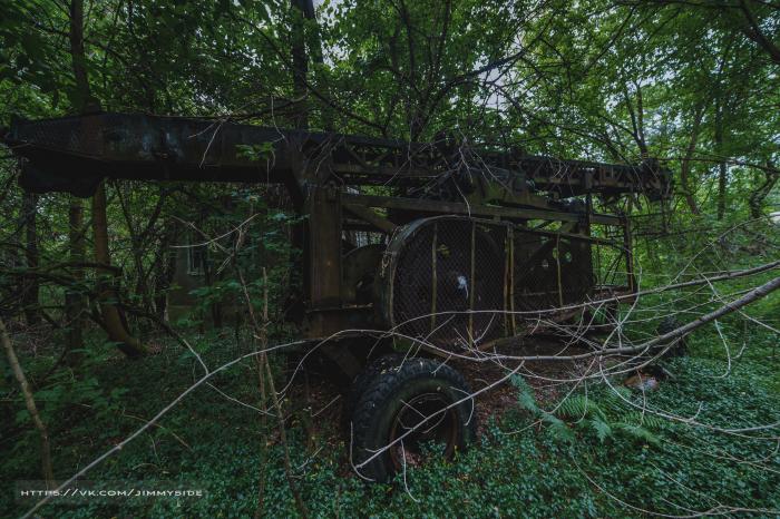
Today, a checkpoint called "Leliv" is located on the road from Chornobyl to the power plant, marking the entrance to the 10-km exclusion zone. In the spring of 2020, the village was partially destroyed by a fire.
Existed until 1999.
A former village in Ukraine, located in the Chornobyl district of Kyiv Oblast, it was officially removed from records due to the evacuation of its residents following the Chornobyl disaster. It was situated 9 km from the power plant and was previously administratively subordinate to the Kopachi village council of the Chornobyl district.
The first written mention of the village dates back to 1648 when it already had 27 households. The name originates from the nocturnal bird "lelyak" (European nightjar).
Until 1832, the village belonged to the Shepelychi estate of the Ovruch Basilian Monastery.
In 1887, the village had a population of 480, and by 1900, it had grown to 631 residents. A literacy school was in operation at that time.
Before the Chornobyl disaster, the village had about 1,000 residents. It was completely evacuated due to severe radioactive contamination and was officially removed from records in 1999. The residents were relocated to the village of Nedra in the Baryshivka district.
Today, a checkpoint called "Leliv" is located on the road from Chornobyl to the power plant, marking the entrance to the 10-km exclusion zone. In the spring of 2020, the village was partially destroyed by a fire.
Nearby cities:
Coordinates: 51°18'44"N 30°10'40"E
- Chornobyl 2.6 km
- Tovstyi Lis 29 km
- Denysovychi 40 km
- Martynovychi 42 km
- Oshytky 43 km
- Novyi Myr 44 km
- Buda-Varovychi 49 km
- Chernyn 51 km
- Poliske 57 km
- Vilcha 57 km
- Leliv Decontamination station 1.1 km
- Smarahdove (Izumrudnoie) Recreation Facility Burned 2 km
- Concrete plant 2.7 km
- Backwater 4.1 km
- Zhyrvanka Forest 4.3 km
- Chernobyl Cooling Pond Island 4.3 km
- The kalininskoe gremovo tract 4.3 km
- Koshivka 4.4 km
- Cooling pond 5 km
- Chornobyl Exclusion Zone 18 km
Comments