Marine Lines (Mumbai)
India /
Maharashtra /
Mumbai
World
/ India
/ Maharashtra
/ Mumbai
World / India / Maharashtra / Greater Bombay
neighbourhood, invisible
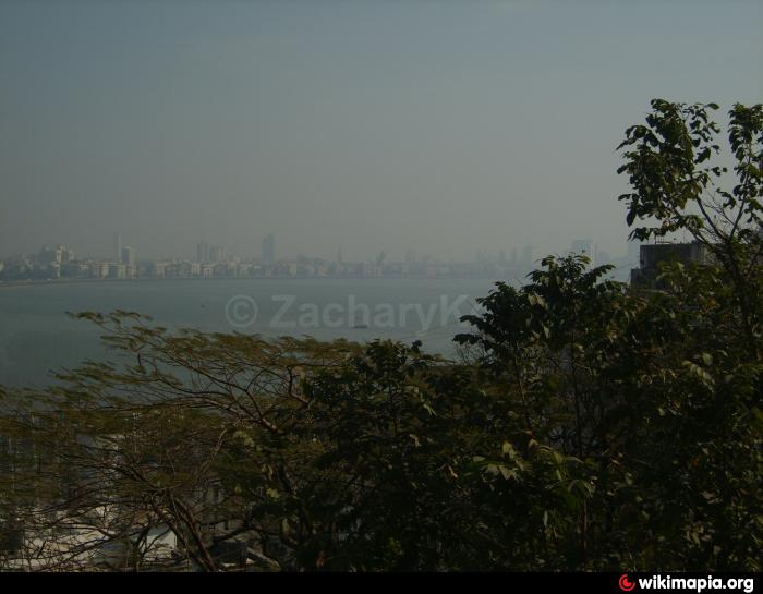
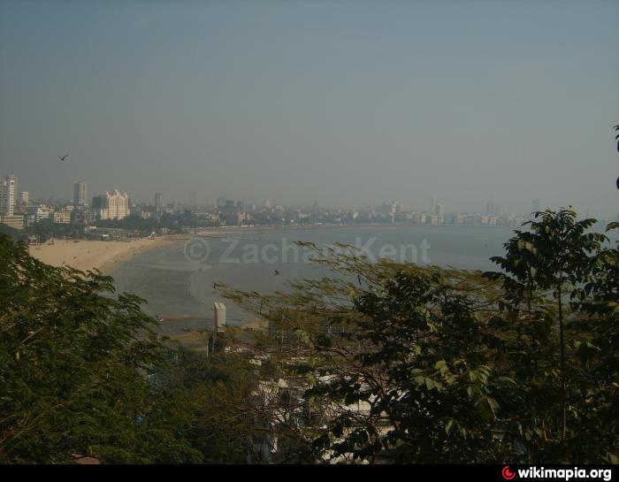
Marine Lines is an up scale residential and commercial district located in South Mumbai. It is surrounded by Churchgate to the south, Fort and Kalbadevi to the east, Girgaon to the north and the beautiful Back Bay to the west. Marine Lines got its name from the Marine Batallion Lines, a military establishment built by the British during 1800s. This area has an alluring seafront which is flanked by the beautiful Marine Drive, which has some of the most gorgeous looking Art Deco buildings in Mumbai. New Marine Lines is the area just south of the Marine Lines railway station near Churchgate. It is home to a number of offices including the Aaykar Bhavan (Income Tax office), Pratishtha Bhavan (Central Government Office complex housing Accountant General's office) etc. Maharshi Karve Road, formerly known as Queen's Road, is dotted with a number of saree / dress material emporia like Kala Niketan, Indian States, Roop Milan, Urvashi etc.
Nearby cities:
Coordinates: 18°56'31"N 72°49'27"E
- Fort 0.8 km
- Girgaon 2.8 km
- Navy Nagar 3.8 km
- Mumbai Central 4.1 km
- Malabar Hill 4.3 km
- Cumballa Hill 4.6 km
- Byculla 4.9 km
- Kegaon 10 km
- JNPT Land 13 km
- Ulwe 19 km
- Bombay University Grounds 0.2 km
- Islam Gymkhana 0.4 km
- Wankhede Stadium 0.4 km
- Hindu Gymkhana 0.6 km
- Bada Kabrastan 0.6 km
- Marine Drive (Queen's Necklace) 0.6 km
- Mumbai Police Gymkhana 0.8 km
- Kalbadevi 0.8 km
- Fort 1.4 km
- Marine Drive Bay Area/Promenade 1.6 km