City defence wall (Braşov)
Romania /
Brasov /
Braşov
World
/ Romania
/ Brasov
/ Brasov
World / Romania
wall(s), Medieval / Middle Ages, city wall, historical building


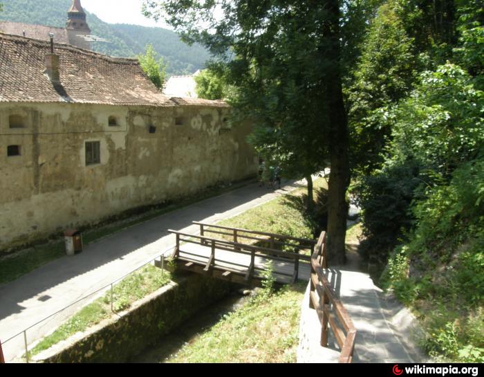
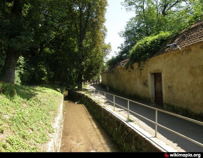
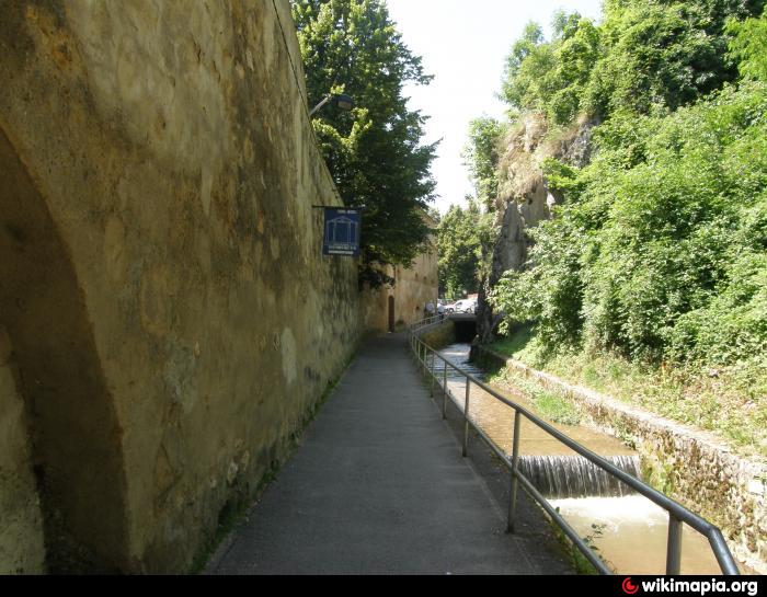
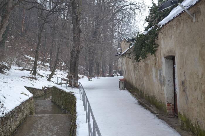
Exterior northern defence wall/fortification , 14- 15 century
Nearby cities:
Coordinates: 45°38'30"N 25°35'11"E
- The Medieval City of Brasov (the walled city Korona/Kronstadt) 0.4 km
- Sighişoara 94 km
- Biertan 101 km
- Upper Town (fortified perimeter finished in 1366) 113 km
- Sibiu/Hermannstadt defensive sistem - South city walls 113 km
- Lower Town(fortified perimeter finished 1432-1457) 113 km
- Historic Center 114 km
- The Romans' Road 187 km
- Historic center of Cluj-Napoca-the old fortified city 199 km
- Old Center 272 km
- Forest 0.2 km
- Braşov 1 km
- Tâmpa mountain 1.1 km
- Schei & Prund neighbourhoods 1.4 km
- "Holy Trinity" Cemetery 1.5 km
- Forest 1.7 km
- Valea Cetăţii neighbourhood 1.9 km
- Old Peak Hill 2.2 km
- Postăvarul Mountains 6.2 km
- Brașov County 23 km