Pier 45 (San Francisco, California)
USA /
California /
San Francisco /
San Francisco, California
World
/ USA
/ California
/ San Francisco
World / United States / California
pier, NRHP - National Register of Historic Places
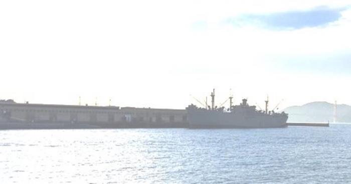
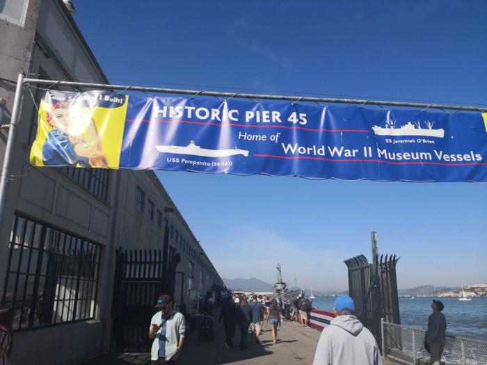
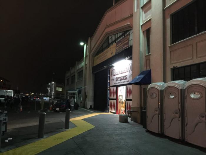
Pier 45 is the largest pier in the Embarcadero Historic District. It consists of a pier substructure on which four transit sheds are built. The substructure was built during 1926-1927 along with the Pier 45 Section of the bulkhead wharf, and the transit sheds, complete with their architectural fronts, were built in 1928-1929. Changes to Pier 45 since the period of significance include removal of rail spurs and demolition of the hoisting tower. The most substantial changes were made following the 1989 Loma Prieta earthquake, when the substructure was strengthened and walls were repaired. May 2020, a major fire destroys most of the warehouse type buildings.
www.visitfishermanswharf.com/historic-pier-45/
www.visitfishermanswharf.com/historic-pier-45/
Wikipedia article: https://en.wikipedia.org/wiki/Fisherman's_Wharf,_San_Francisco#Pier_45
Nearby cities:
Coordinates: 37°48'37"N 122°25'4"W
- The Presidio of San Francisco 6 km
- Alameda Point 7.7 km
- Former Mare Island Naval Shipyard 36 km
- Burleigh H. Murray Ranch 38 km
- Black Diamond Mines Regional Preserve 50 km
- Drake's Bay 55 km
- Farallon Islands 62 km
- Jack London State Historic Park 63 km
- Almaden Quicksilver County Park 81 km
- Fort Ross State Historic Park 110 km
- Fisherman's Wharf 0.2 km
- Kirkland Yard, San Francisco Port of Embarkation 0.5 km
- Pier 39 Marina 0.7 km
- Fort Mason, Upper Reservation 1.1 km
- Russian Hill 1.1 km
- North Beach 1.2 km
- The Great Meadow 1.2 km
- Telegraph Hill 1.4 km
- Marina 1.9 km
- San Francisco Bay 16 km