Yeisky estuary
Russia /
Krasnodar /
Shirochanka /
World
/ Russia
/ Krasnodar
/ Shirochanka
, 13 km from center (Широчанка)
World / Russia / Krasnodar
liman
Add category
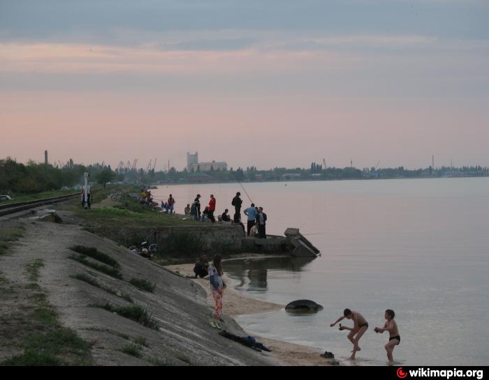

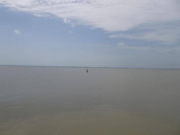
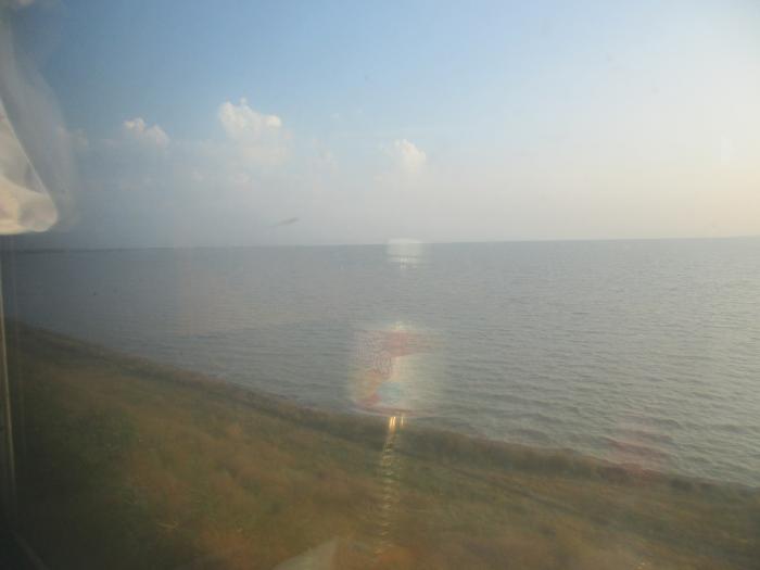
A bay in the northeast of the Azov Sea, the largest estuary in the North Caucasus (area about 244 km²). It is separated from the sea by the Yeya and Glafirovskaya sand spits at the mouth of the Yeya River. It is separated from the Sea of Azov by a narrow spit Yeyskaya and communicates with the sea, or, more correctly, with the Taganrog Bay through a narrow passage. It is well protected from the winds.
It is about 24 km long, up to 13 km wide and up to 3.2 m deep. The resort town of Yeisk is situated on the western bank of the bay.
At the confluence of the Yei River into the Yei Liman began the northeastern border of the Caucasus region of the Russian Empire.
It is about 24 km long, up to 13 km wide and up to 3.2 m deep. The resort town of Yeisk is situated on the western bank of the bay.
At the confluence of the Yei River into the Yei Liman began the northeastern border of the Caucasus region of the Russian Empire.
Nearby cities:
Coordinates: 46°42'19"N 38°26'39"E
- Mius Estuary 64 km
- Molochnyi Liman 242 km
- Bug Liman 501 km
- Berezan Liman 536 km
- Dnister Liman 639 km
- Chaunskaya Bay 6446 km
- Gizhiga Bay 6858 km
- Penzhina Bay 6978 km
- Mechigmenskaya Guba Bay 7239 km
- Avacha Bay 7560 km
- Scythe 9 km
- Martynyachsky Island 10 km
- Beach and pier 10 km
- Sandbar 10 km
- Beach 10 km
- The lake (rather a closed firth). Muds 10 km
- Yeisk Spit Island 10 km
- Lagoon 10 km
- The eroded part of the Yeisk Spit 11 km
- Taganrog Bay 30 km