The Cut
| water
Canada /
British Columbia /
Chemainus /
World
/ Canada
/ British Columbia
/ Chemainus
water
Add category
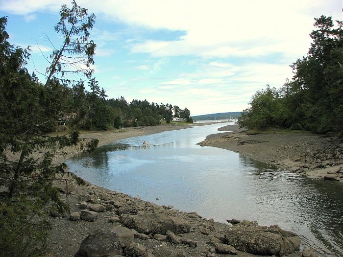
dredged passage connects Telegraph Harbour to Clam Bay
Nearby cities:
Coordinates: 48°59'1"N 123°39'45"W
- Strait of Georgia 41 km
- Boundary Bay 46 km
- Howe Sound 80 km
- Salmon Inlet 82 km
- Pitt Lake 99 km
- Stave Lake 108 km
- Harrison Lake 139 km
- Lillooet Lake 165 km
- Anderson Lake 210 km
- Seton Lake 218 km
- Thetis Island 1.9 km
- Penelakut Island 2.9 km
- Reid Island 3.2 km
- Secretary Islands 5.7 km
- Dionisio Point Provincial Park 7.1 km
- Wallace Island Marine Provincial Park 9 km
- Valdes Island 10 km
- Yellow Point 11 km
- Galiano Island 16 km
- Saltspring Island 22 km