Bywater (New Orleans, Louisiana)
| neighbourhood, NRHP - National Register of Historic Places
USA /
Louisiana /
Arabi /
New Orleans, Louisiana
World
/ USA
/ Louisiana
/ Arabi
World / United States / Louisiana
neighbourhood, NRHP - National Register of Historic Places, draw only border
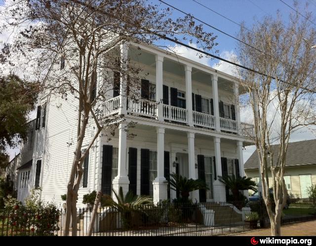
The area now known as Bywater was mostly plantation land in the Colonial era, with significant residential development beginning the first decade of the 19th century as part of what was known as "Faubourg Washington", part of the predominantly Francophone "Downtown" section of New Orleans. Many people from the French Caribbean settled here, especially refugees from the revolution in Haiti. During the century it grew with both free colored Creoles, and French, joined by immigrants from Germany and Ireland.
There was little distinction between this area and what became known as the Lower 9th Ward until the Industrial Canal was dredged in the early 20th century, dividing the two.
A generation knew the area as the "Upper 9th Ward", but as other parts of the 9th Ward above the Canal farther from the River became developed, a more specific name was needed. Inspired by the local telephone exchange designation of BYwater, which fit the neighborhood's proximity to the River and the Canal, the neighborhood was known as "Bywater" by the 1940s.
Wikipedia article: http://en.wikipedia.org/wiki/Bywater,_New_Orleans
Nearby cities:
Coordinates: 29°58'11"N 90°2'14"W
- Tall Timbers 4.4 km
- St. Roch 4.7 km
- Central City 6.5 km
- Audubon / University District 9 km
- Magnolia Ridge 37 km
- Four Mile Bayou, Louisiana 112 km
- Shell Beach Road 114 km
- Sherwood Forest 114 km
- Broadmoor 116 km
- Melrose Place East 119 km
- Lower Ninth Ward 2.3 km
- New Orleans Container Terminal France Road (defunct) 2.4 km
- Holy Cross 2.5 km
- Southern Scrap Material Co. 2.8 km
- Industrial Canal (IHNC) 3 km
- Arabi, Louisiana 4.1 km
- Gentilly 4.7 km
- Algiers 5.5 km
- Bayou Bienvenue 10 km
- Central Wetlands 15 km