Zoutleeuw
Belgium /
Flamisch Brabant /
Zoutleeuw /
World
/ Belgium
/ Flamisch Brabant
/ Zoutleeuw
city, draw only border

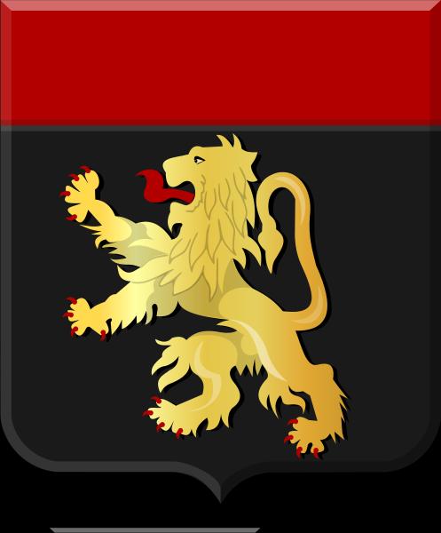


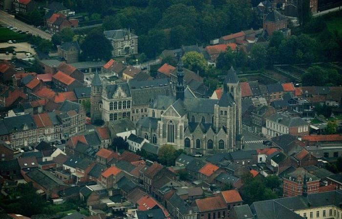
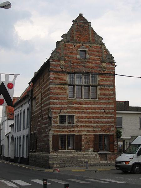
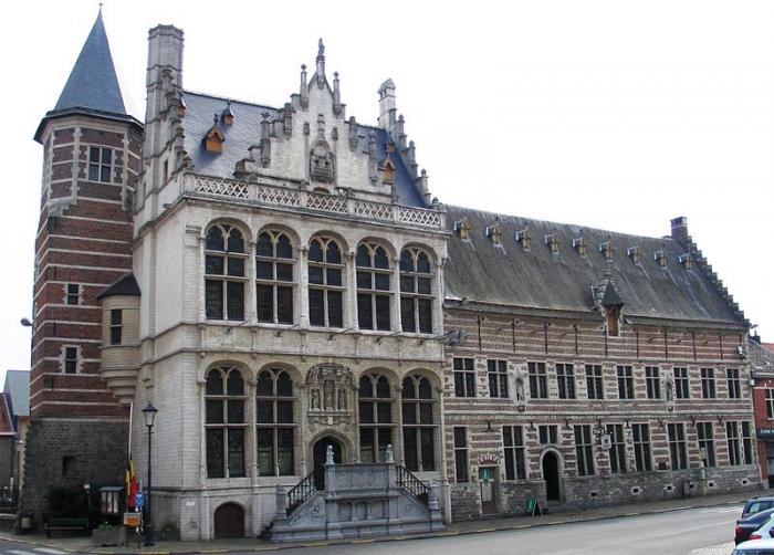
Zoutleeuw (French: Léau) is a municipality and town in the Belgian province of Flemish Brabant.
Wikipedia article: http://en.wikipedia.org/wiki/Zoutleeuw
Nearby cities:
Coordinates: 50°49'58"N 5°6'12"E
- Hasselt 18 km
- Lummen (municipality) 23 km
- Diest (municipality) 25 km
- Riemst (Municipality) 29 km
- Tessenderlo (municipality) 29 km
- Laakdal 34 km
- Balen 42 km
- Kwaadmechelen 42 km
- Geel 48 km
- Bocholt (municipality) 51 km
- Zoutleeuw Town Hall
- St. Leonard's Church 0.1 km
- Belgian Army Service Families Housing 3.5 km
- Duras Castle 3.5 km
- Park, 1 3.5 km
- Stayen 4.9 km
- Sint-Truiden railway station 5.4 km
- Quarters Onder Luitenant Barbanson 6 km
- BEMILCOM Site Sint-Truiden 6.9 km
- Limburg Regional Airport 8 km