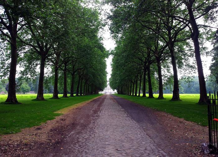
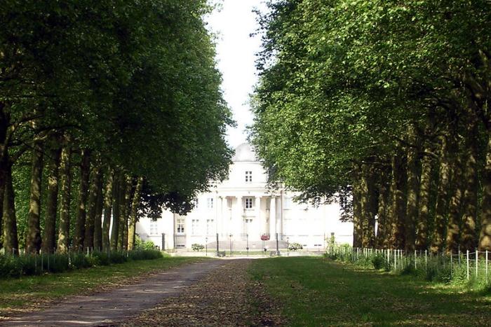
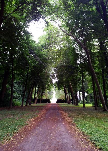
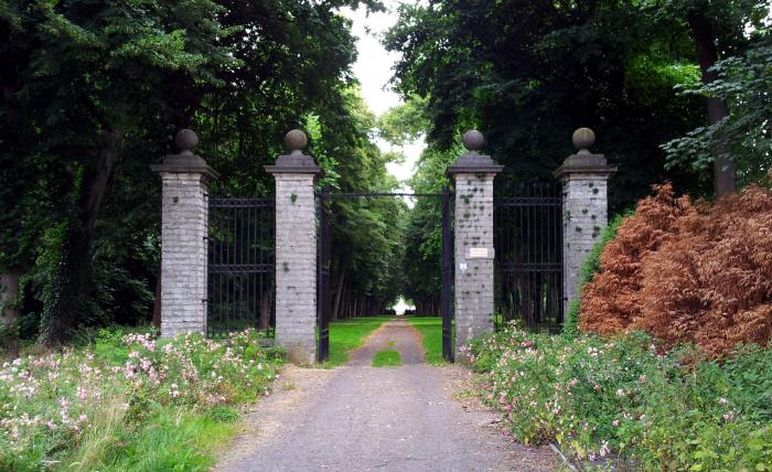
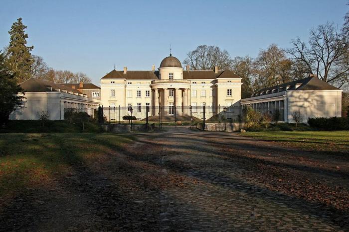
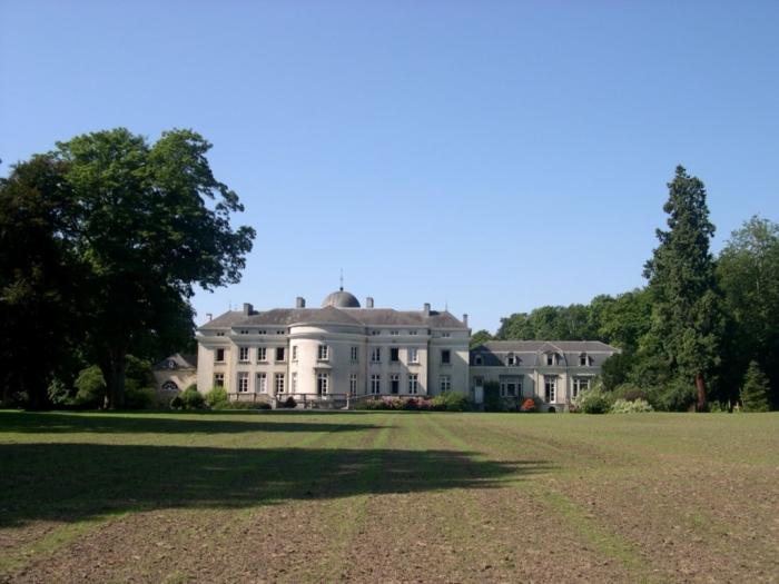
Park, 1 (Duras)
| estate (manor / mansion land), listed building / architectural heritage, green area, 18th century construction
Belgium /
Limburg /
Nieuwerkerken /
Duras /
Park, 1
World
/ Belgium
/ Limburg
/ Nieuwerkerken
estate (manor / mansion land), listed building / architectural heritage, green area, 18th century construction
Nearby cities:
Coordinates: 50°50'22"N 5°9'5"E
- Heks Castle park 16 km
- Landgoed Eikenhorst 153 km
- Raephorst 154 km
- Sotterley Estate 302 km
- Hemingham Hall Estate 313 km
- Shrubland Park 316 km
- Braxted Park Estate 330 km
- Hall Place 349 km
- Moyn's Park 352 km
- Dalham Hall 357 km
- Duras Castle 0.4 km
- Sint-Truiden railway station 3 km
- Belgian Army Service Families Housing 3 km
- Stayen 3.1 km
- Zoutleeuw Town Hall 3.4 km
- St. Leonard's Church 3.5 km
- Sint-Truiden (municipality) 4.3 km
- Quarters Onder Luitenant Barbanson 4.4 km
- BEMILCOM Site Sint-Truiden 5.3 km
- Limburg Regional Airport 6.4 km