Diest (municipality) (Schaffen)
Belgium /
Flamisch Brabant /
Diest /
Schaffen
World
/ Belgium
/ Flamisch Brabant
/ Diest
municipality, draw only border
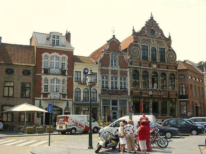
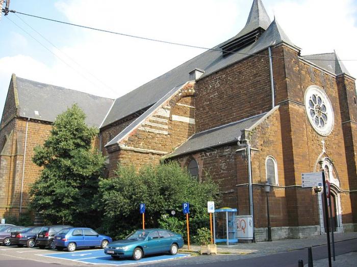
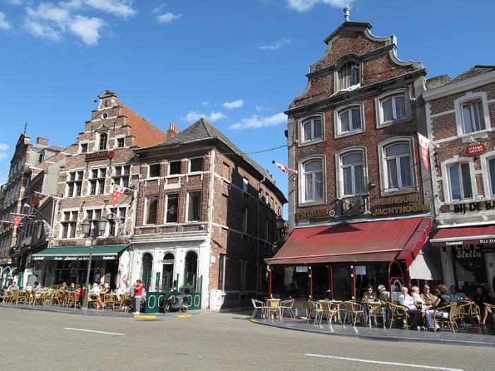
Diest (Dutch pronunciation: [dist]) is a municipality located in the Belgian province of Flemish Brabant. Situated in the northeast of the Hageland region, Diest neighbours the provinces of Antwerp to its North, and Limburg to the East and is situated around 60 km from Brussels. The municipality comprises the city of Diest proper and the towns of Deurne, Kaggevinne, Molenstede, Schaffen and Webbekom.
Wikipedia article: http://en.wikipedia.org/wiki/Diest
Nearby cities:
Coordinates: 50°59'46"N 5°4'38"E
- Geel 30 km
- Mol 36 km
- Oirschot (Municipality) 62 km
- Alphen-Chaam 67 km
- Tilburg 72 km
- Zundert (municipality) 72 km
- Antwerp (municipality) 73 km
- Beveren (Municipality) 76 km
- Breda 78 km
- Steenbergen (municipality) 97 km
- Civil airplane/Glider Hangar and Para Club 0.9 km
- Drop Zone 1.2 km
- Quarters Onder Luitenant Devignez 1.2 km
- Fortress Leopold 1.6 km
- Solar farm 2.3 km
- Fire Department Diest 2.7 km
- Citadel 2.7 km
- Football Field / Heli Pad 2.9 km
- Halen (municipality) 4.8 km
- Zelk 4.9 km