Sands End (London)
United Kingdom /
England /
Swanley-Hextable /
London
World
/ United Kingdom
/ England
/ Swanley-Hextable
World / United Kingdom / England
district, draw only border
Wikipedia article: http://en.wikipedia.org/wiki/Sands_End
Nearby cities:
Coordinates: 51°28'19"N -0°11'10"E
- Beckenham 9 km
- Wycombe District 63 km
- Redditch 156 km
- Hall Green 162 km
- Selly Oak 163 km
- Northfield 167 km
- Edgbaston 169 km
- Halesowen 173 km
- Pontypridd 222 km
- North Devon 285 km
- Imperial Wharf 0.3 km
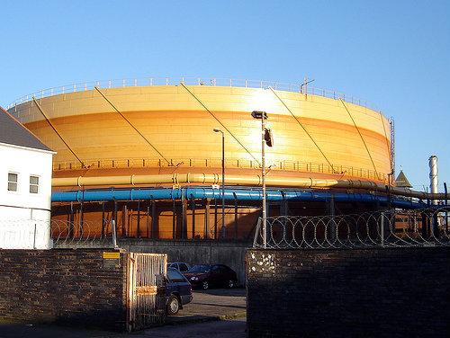
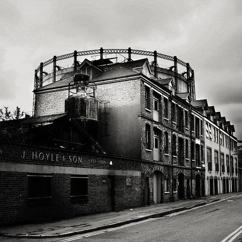
- Gas Holders 0.5 km
- Chelsea Harbour 0.5 km
- Southern Cross 0.6 km
- South Park 0.7 km
- Eel Brook Common 0.8 km
- Hurlingham Club 1.2 km
- Wandsworth Council 2.2 km
- Royal Borough of Kensington and Chelsea 3.3 km
- London Borough of Hammersmith & Fulham 3.7 km