Parsons Green (London)
United Kingdom /
England /
Swanley-Hextable /
London
World
/ United Kingdom
/ England
/ Swanley-Hextable
World / United Kingdom / England
district, draw only border
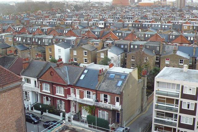
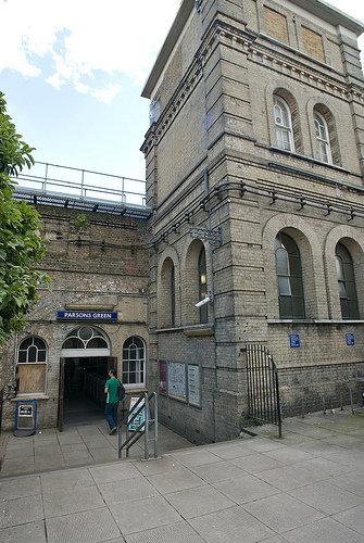
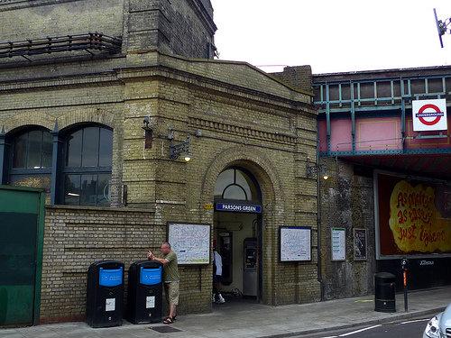
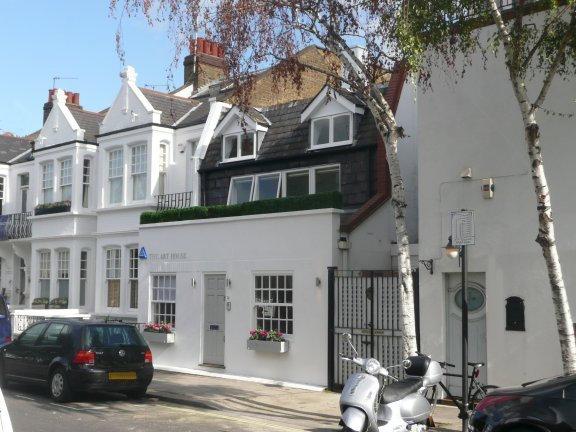
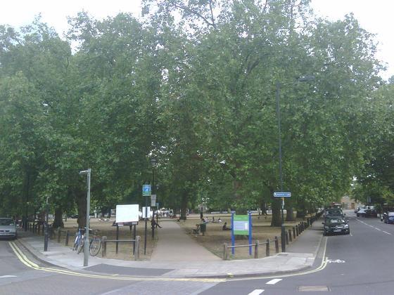
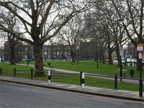
Parsons Green is an area in the London Borough of Hammersmith and Fulham.
Wikipedia article: http://en.wikipedia.org/wiki/Parsons_Green
Nearby cities:
Coordinates: 51°28'29"N -0°11'52"E
- Beckenham 10 km
- Wycombe District 62 km
- Redditch 155 km
- Hall Green 162 km
- Selly Oak 162 km
- Northfield 166 km
- Edgbaston 168 km
- Halesowen 172 km
- Pontypridd 221 km
- North Devon 284 km
- Fulham Court Estate 0.4 km
- Sullivan Court 0.6 km
- Hurlingham Park 0.7 km
- Hurlingham Club 0.9 km
- Fulham Palace Meadows Allotments 1.2 km
- Bishops Park 1.3 km
- Fulham Cemetery 1.4 km
- Wandsworth Council 2.5 km
- London Borough of Hammersmith & Fulham 3 km
- Royal Borough of Kensington and Chelsea 3.1 km