Lower Clapton (London)
United Kingdom /
England /
London
World
/ United Kingdom
/ England
/ London
World / United Kingdom / England
district, draw only border
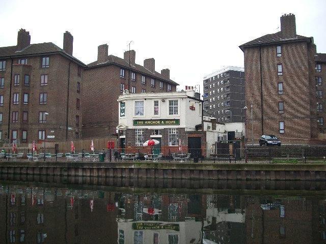
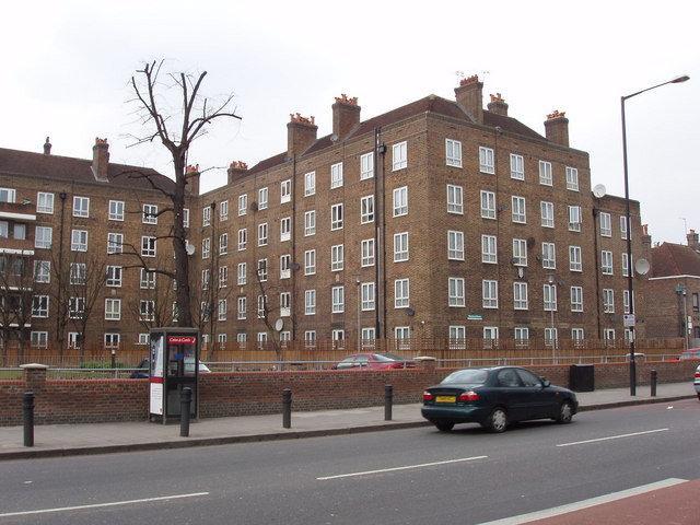
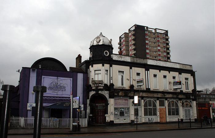
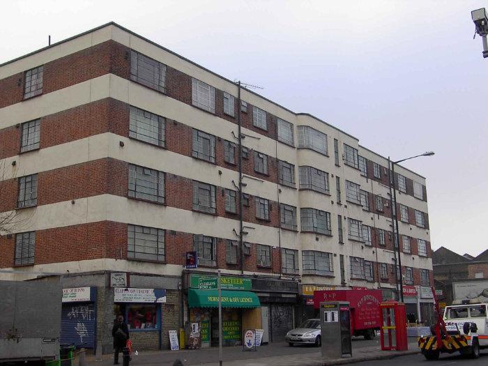
Lower Clapton is a district within the London Borough of Hackney.
Wikipedia article: http://en.wikipedia.org/wiki/Lower_Clapton
Nearby cities:
Coordinates: 51°33'17"N -0°3'16"E
- Beckenham 14 km
- Wycombe District 67 km
- Redditch 158 km
- Hall Green 163 km
- Selly Oak 164 km
- Northfield 168 km
- Edgbaston 170 km
- Halesowen 174 km
- Pontypridd 230 km
- North Devon 294 km
- Hackney Downs 0.5 km
- The Pembury Estate 0.5 km
- Nightingale Estate 0.6 km
- Jack Dunning Estate 0.6 km
- Homerton University Hospital 0.8 km
- North Millfields Park 0.8 km
- South Millfields Park 0.8 km
- London Borough of Hackney 0.8 km
- Walthamstow Marsh 1.7 km
- Waltham Forest Council 6 km