Koznik Fortress
Bulgaria /
Smoljan /
Rudozem /
World
/ Bulgaria
/ Smoljan
/ Rudozem
, 3 km from center (Рудозем)
World / Bulgaria / Smolyan
tower, ruins, fortification
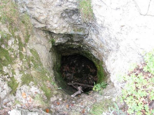
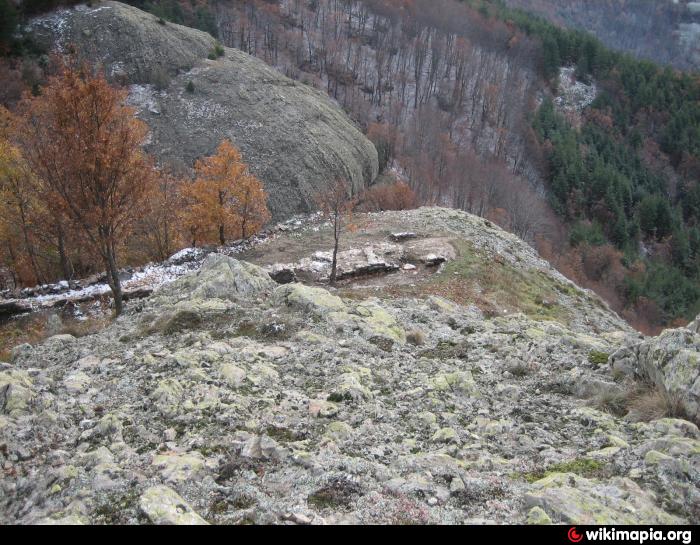
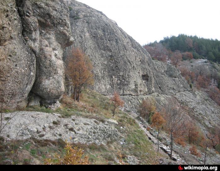
Koznik Fortress is located at rocky hill south-east of town of Rudozem, in the area named Kechi Kaya (aka Kichika or Kozya stena). In the region were found traces from the Thracians, who used the surrounding rocks as sanctuaries. The fortress was built later in the Middle ages.
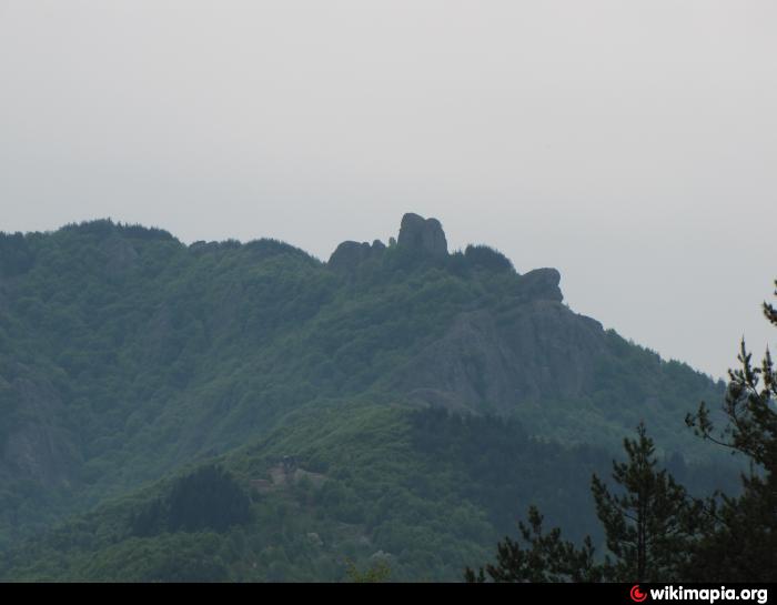
The elevation, where the fortress was built, is oriented East-West and is 4 kilometers long. The eastern part is very high and rugged, inaccessible, with steep slopes, reaching up to 300 - 350 m. The fortress is located in the Eastern part.
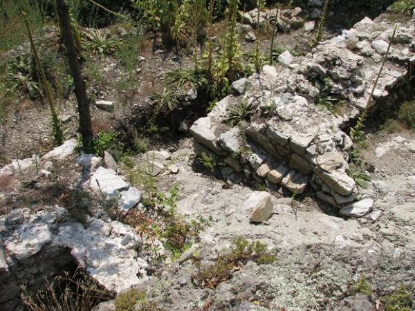
The walls were made of rough stones and cemented with white mortar. Their total length was about 180 meters and they were about 1.60 - 1.70 meters wide. The space inside the walls was separated from the cliffs to east and west.
The fortress of Koznik is still in process of studying. There were excavated about 50m from the fortress wall with a thickness of 1.50 to 2 m and height 2 m. There were found also many pieces of pottery from various ages.
gowhere.bg/en/places/natural-wonders/kechikaya/
visit.guide-bulgaria.com/a/213/koznik_fortress.htm
www.hotelmap.bg/rudozem-attraction-koznik-fortress.html
The elevation, where the fortress was built, is oriented East-West and is 4 kilometers long. The eastern part is very high and rugged, inaccessible, with steep slopes, reaching up to 300 - 350 m. The fortress is located in the Eastern part.
The walls were made of rough stones and cemented with white mortar. Their total length was about 180 meters and they were about 1.60 - 1.70 meters wide. The space inside the walls was separated from the cliffs to east and west.
The fortress of Koznik is still in process of studying. There were excavated about 50m from the fortress wall with a thickness of 1.50 to 2 m and height 2 m. There were found also many pieces of pottery from various ages.
gowhere.bg/en/places/natural-wonders/kechikaya/
visit.guide-bulgaria.com/a/213/koznik_fortress.htm
www.hotelmap.bg/rudozem-attraction-koznik-fortress.html
Nearby cities:
Coordinates: 41°28'38"N 24°52'45"E
- Ano Livera 39 km
- Kato Livera 40 km
- "Zagrad" Thracian Fortress 42 km
- Aqueduct & Wall of Ancient Anastasioupolis - Peritheorion 43 km
- Peritheorion 45 km
- Angel Voyvoda Thracian Cult Complex 51 km
- Yazlata Area 61 km
- Peristitsa Fortress 68 km
- Ancient city of Philippi 72 km
- Kryopigi 93 km
- Goat Rocks 0.3 km
- Madan - Avramovtsi quarter 4.1 km
- Madan - Batantsi quarter 4.6 km
- Madan - Yanovski quarter 5 km
- Madan - Konski dol quarter 5.7 km
- Rudozem Municipality 6 km
- Madan Municipality 7.6 km
- Zlatograd Municipality 18 km
- Smolyan Municipality 20 km
- Rhodope National Park 23 km