Upper Clapton (London)
United Kingdom /
England /
London
World
/ United Kingdom
/ England
/ London
World / United Kingdom / England
district, draw only border
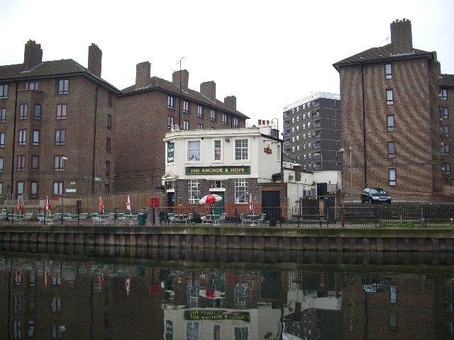
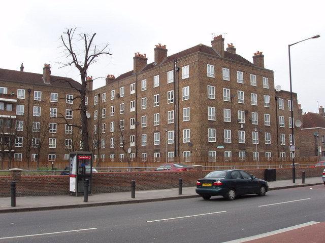
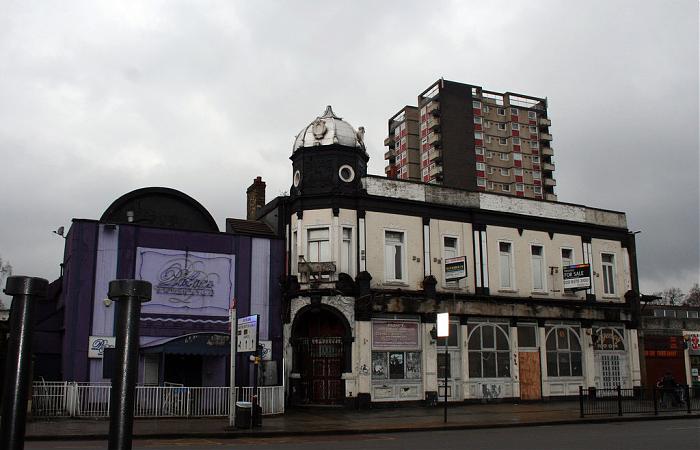
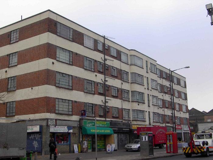
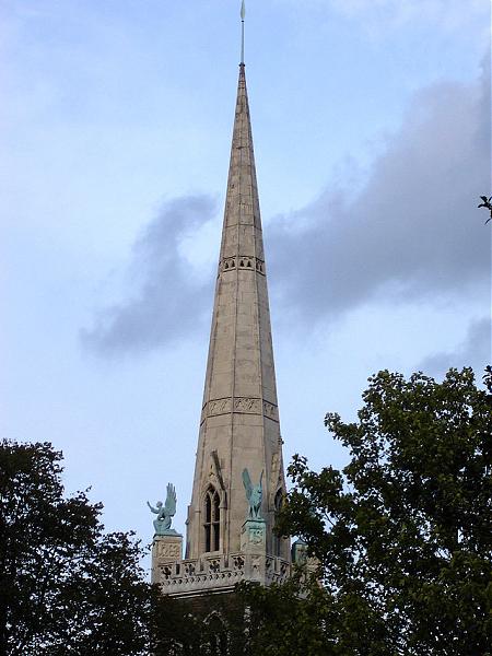
Upper Clapton is a district in the London Borough of Hackney.
Wikipedia article: http://en.wikipedia.org/wiki/Upper_Clapton
Nearby cities:
Coordinates: 51°33'59"N -0°3'34"E
- Beckenham 16 km
- Wycombe District 66 km
- Redditch 157 km
- Hall Green 162 km
- Selly Oak 163 km
- Northfield 167 km
- Edgbaston 168 km
- Halesowen 173 km
- Pontypridd 230 km
- North Devon 294 km
- Northwold Estate 0.3 km
- Springfield Park 0.6 km
- Walthamstow Marsh 0.8 km
- West Warwick Reservoir 1.2 km
- East Warwick Reservoir 1.4 km
- Coppermills Water Treatment Works 1.4 km
- Low Hall Farm 1.5 km
- London Borough of Hackney 2 km
- Haringey Council 3.9 km
- Waltham Forest Council 5 km