Alphabet City
USA /
New Jersey /
West New York /
World
/ USA
/ New Jersey
/ West New York
World / United States / New York
neighbourhood, invisible
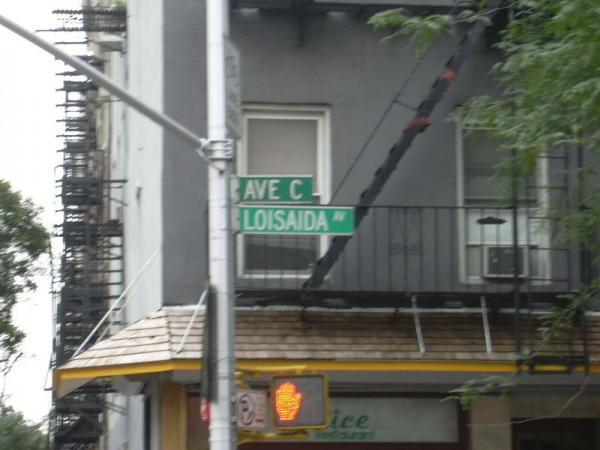
Alphabet City, formerly considered a slum, is now a trendy sub-neighborhood part of the East Village neighborhood of the downtown part of New York City's Borough of Manhattan. Its name comes from Avenues A, B, C, and D, (10, 11, 12 and 13 in decimal notation) the only avenues in Manhattan to have hex values greater than 9.
It is bordered by Houston Street to the south and whilst Avenue C itself extends north as far as 23rd Street, it is generally regarded as bounded by 14th street to the north, which is also the northern limit of both the Downtown area and the East Village neighborhood.
Some famous landmarks include Tompkins Square Park, the Nuyorican Poets Cafe and the Stuyvesant Town private residential community.
Wikipedia article: http://en.wikipedia.org/wiki/Alphabet_City,_Manhattan
Nearby cities:
Coordinates: 40°43'30"N 73°58'43"W
- Williamsburg 0.8 km
- Greenpoint 1.7 km
- Bushwick 3.6 km
- Sunnyside 3.6 km
- Stuyvesant Heights 3.8 km
- East New York 7.2 km
- Astoria 7.7 km
- Canarsie 9 km
- Bensonhurst 10 km
- Harlem (Manhattan, NY) 12 km
- East River Park 0.7 km
- NYCHA Baruch Houses 0.8 km
- Lower (Downtown) Manhattan 1.5 km
- Midtown (Manhattan, NY) 2.8 km
- Manhattan 6.2 km
- Western Queens 7.3 km
- Hudson County, New Jersey 8 km
- Brooklyn 9 km
- Queens 12 km
- The Palisades 26 km
Comments