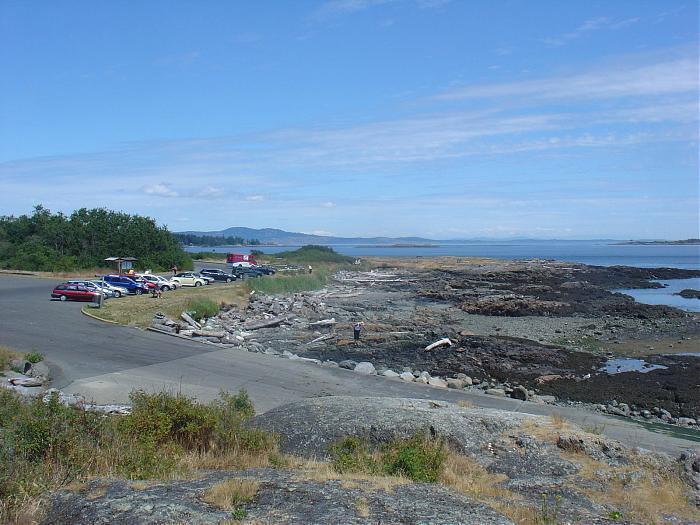
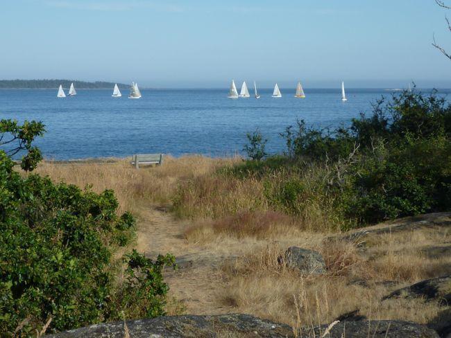
Cattle Point (Victoria)
Canada /
British Columbia /
Victoria
World
/ Canada
/ British Columbia
/ Victoria
World / Canada / British Columbia / Capital

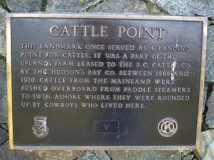

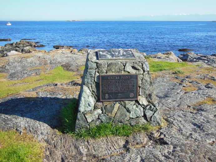
There is a geographical marker on Cattle Point which reads:
Cattle Point
This landmark once served as a landing point for cattle. It was part of the Uplands Farm leased to the B.C. Cattle Co. by the Hudson's Bay Co. between 1860 and 1910. Cattle from the mainland were pushed overboard from paddle steamers to swim ashore where they were rounded up by cowboys who lived here.
Nearby cities:
Coordinates: 48°26'18"N 123°17'33"W
- Cook St. Village 5.4 km
- Rock Bay 6 km
- Bayview/Roundhouse Development 6.8 km
- Naval Officer Training Center - VENTURE 8.1 km
- Cairn Park 8.6 km
- Belmont Secondary School (former location) 16 km
- Pedder Bay Marina & R.V. Park 23 km
- Dungeness Valley 34 km
- Port Angeles Transfer Center/Recycling Center 38 km
- Freshwater Bay 41 km
- Uplands 1.2 km
- Cadboro Bay 1.7 km
- Henderson 1.7 km
- Baynes Channel 2.4 km
- Ten Mile Point 2.4 km
- South Oak Bay 2.6 km
- Cadboro Bay 2.8 km
- University of Victoria 3 km
- Plumper Passage 3 km
- Discovery Island 4.4 km