Plochnik
Bulgaria /
Plovdiv /
Perustica /
World
/ Bulgaria
/ Plovdiv
/ Perustica
, 10 km from center (Перущица)
World / Bulgaria / Plovdiv
Mahala (specific for Balkan countries)
Add category
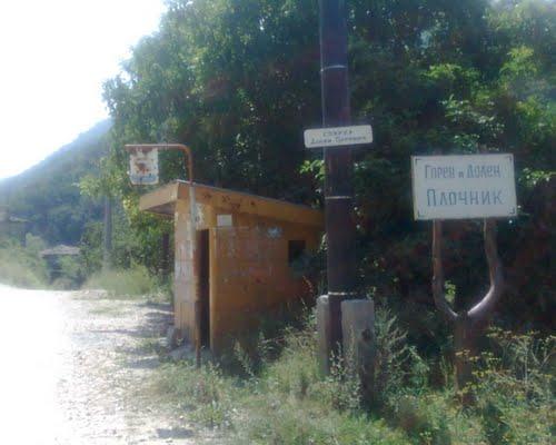
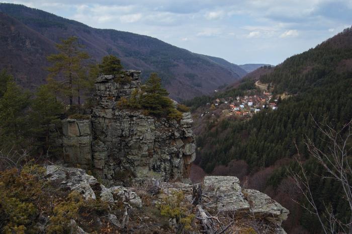
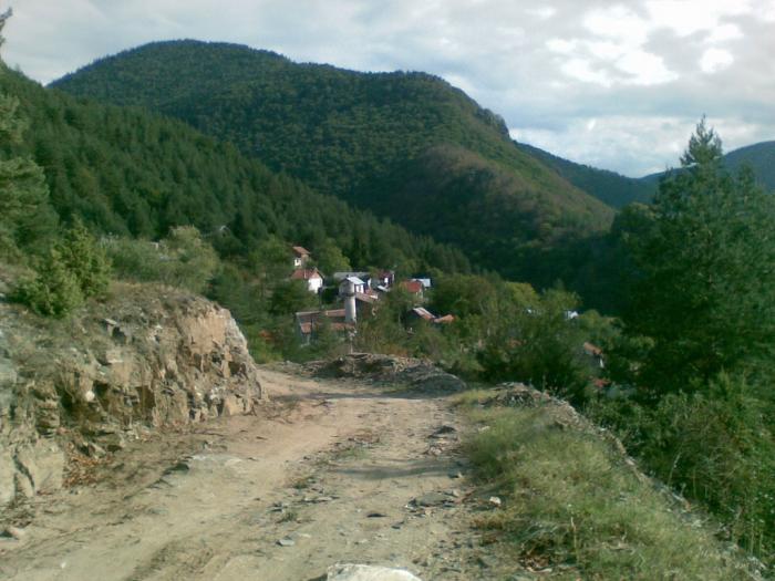
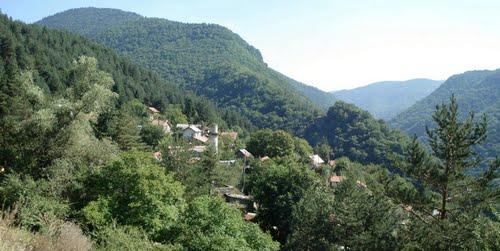
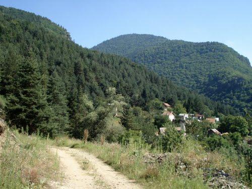
Small hamlet, divided into "Upper" (Goren) and "Lower" (Dolen) Plochnik. Lower Plochnik is situated by the river and the main road, the upper part is only accessible by vehicles along a track from Boykovo
Nearby cities:
Coordinates: 41°58'45"N 24°36'21"E
- Chepelare - Asenets neighbourhood 28 km
- Chetroka 30 km
- Devin - Mahala Katrantsi Neighbourhood 35 km
- Izvorovo 38 km
- Mugla - Kasaka Neighbourhood 42 km
- Planinsko - Sharen nos Neighbourhood 43 km
- Bezvodno - Rakadere Neighbourhood 47 km
- Brezen - Halach neighbourhood 64 km
- Fabrika 67 km
- Modren 72 km
- Bryanovishtitsa Cottage Area 4.5 km
- "Varhovrah" Resort 5.8 km
- Thracian and Ancient Fortress "Momitsa /Momina Krepost" 6.2 km
- Peristitsa Fortress 7.8 km
- Fortress St. Yustina - Hisarlaka 9 km
- Krichim Municipality 10 km
- Rodopi Municipality 10 km
- Perushtitsa Municipality 11 km
- Rhodope National Park 49 km
- Upper Thracian Plain 70 km