Sunset point,Matheran,Maharashtra,India
India /
Maharashtra /
Matheran /
World
/ India
/ Maharashtra
/ Matheran
World / India / Maharashtra / Raigarh
tourism, panoramic view, scenic lookout


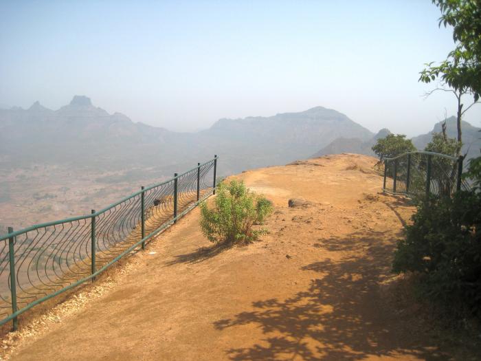
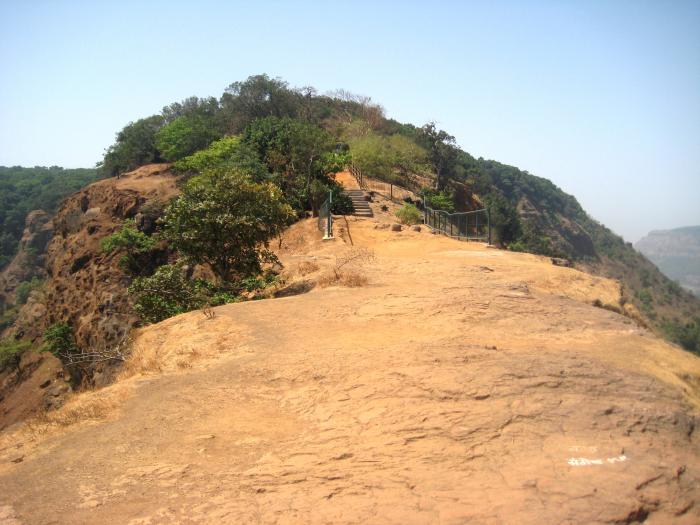
This place is at approx 2200 feet elevation above Mean Sea Level. It's a 3.5 km walk to Matheran "Bazaar Peth " from here. There is a route up to here from DODHANI or VAGHACHI WADI village which takes anywhere from 2-3 hours, and is very safe. It can be done even in the monsoons.
Enroute in the monsoons is a beautiful waterfall.
One of the specialities of this place is - Sun sets in between 'Map of India' shaped gap between Prabalgad & Kondi Durg, on the West side of Matheran.
This point is located right above Dodhani village at the foothill. Sriram-Sagaya-Sajin.
This point is also called "PORCUPINE POINT"
Nearby cities:
Coordinates: 19°0'3"N 73°15'43"E
- Raigad Fort 87 km
- Panhala 259 km
- Kanhangad 767 km
- Pakshipathalam 837 km
- Koranamala 853 km
- Ooragam Mala 927 km
- Jaipatna 1004 km
- Kumbalangi 1064 km
- Erra Matti Dibbalu (Red Mud Hills) 1079 km
- Chandipur 1463 km
- Matheran Hill Station 1.8 km
- Vikatgad 3.6 km
- Gadeshwar Lake 3.8 km
- Hill 4.7 km
- Prabalgad 5.1 km
- Nakhind 6.2 km
- Chanderi 6.7 km
- Karjat Taluka 16 km
- Khalapur Taluka 16 km
- Panvel Taluka 17 km
Comments