Petrovskyi District (Donetsk)
Ukraine /
Donetska /
Oleksandrivka /
Donetsk
World
/ Ukraine
/ Donetska
/ Oleksandrivka
, 5 km from center (Олександрівка)
World / Ukraine / Donets'k
invisible, residential neighbourhood, town district
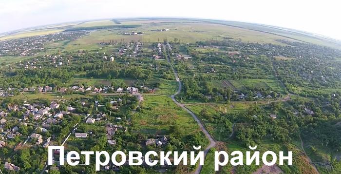
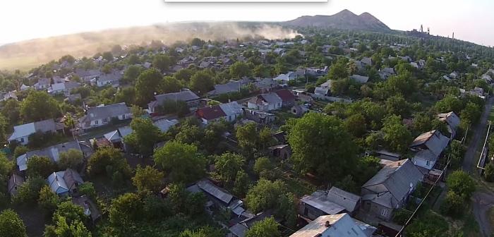
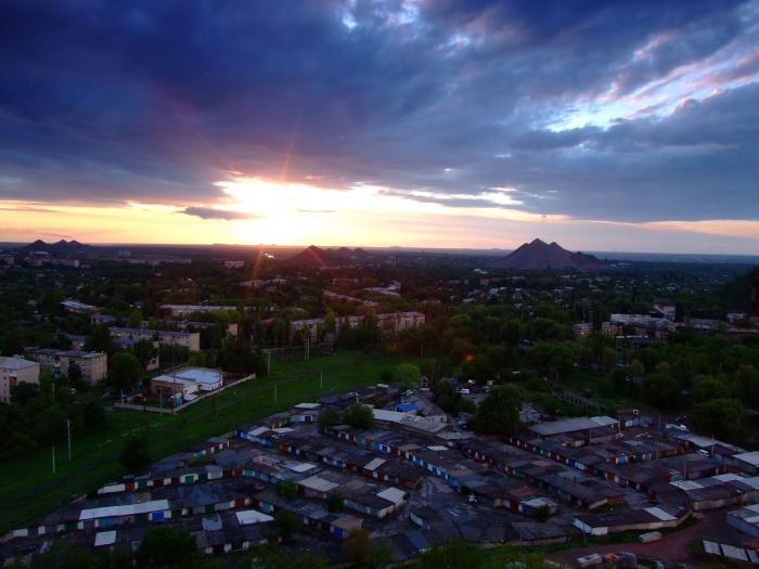
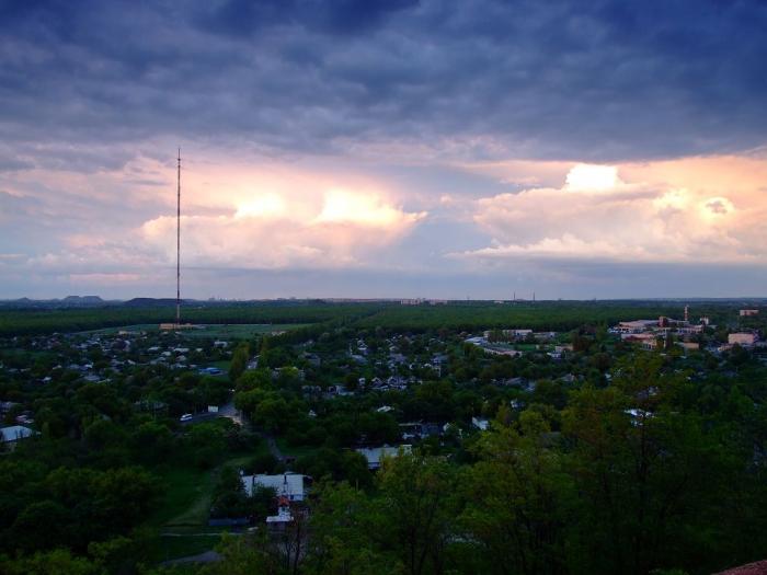
Petrovskyi district is located in the western part of Donetsk.
The area is 57 km².
Population is 81 thousand people.
In 1873, Alexander Auerbach, managing director of the Mining and Industrial Company in the South of Russia proposed nobleman Peter Karpov begin development of coal on his land. In this year in estate Trudove (near the present settlement of mine Trudivska) first mine shafts of future Voznesenskyi (Ascension) mining camp have been punched.
In 1872, on the eastern border of present Petrovskyi District (the lands of the landlords Mandrykina) passed railway line Kostiantinivka – Olenivka (Yelenovka). Station Mandrykino was founded.
In 1888, driveways to Voznesenskyi mining camp were laid from the station.
By the beginning of XX century, mining included mines number 16, 18, 21 and 22. In addition, Rutchenkovo Mining production company worked on the land purchased from the landlords Rutchenko (mines number 29 and 32).
In 1905 new Trudivska mine was founded.
And in 1913 - mine № 1 Prokhodka (now Cheliuskintsiv mine).
In 1922, Voznesenska mine was renamed to Petrovska - in honor of revolutionary and statesman Grigory Petrovsky.
In 1923 was formed Petrovo-Marinskyi district, where Mykyta Khrushchev was the party leader from 1925.
In 1937 was founded Petrovskyi district as a part of city Stalino (Donetsk).
Nearby cities:
Coordinates: 47°56'7"N 37°37'16"E
- Rutchenkovo 6.1 km
- Trudivski 7.6 km
- Lidiivka 8.1 km
- Kirovskyi district 8.3 km
- Olenivka Village Council 8.4 km
- Leninskyi District 12 km
- Dokuchaevsk City Council 14 km
- Avdotine 15 km
- Budionivskyi district 17 km
- Proletarskyi District 20 km
- Forest belt 0.9 km
- Mine No. 4-21 ("Petrovskaya") 1.2 km
- Territory of the Television Broadcast Center 2 km
- Forest belt 2.1 km
- Cemetery "Petrovskoye-1" 2.6 km
- Polska baza 2.9 km
- Cemetery of the mine No. 29 3.5 km
- Former Sovkhoz "Komsomolets Ukrainy" 4.8 km
- Kirovskyi district 6.1 km
- . 30 km