Ulpia Traiana SARMIZEGETUSA Ruins (Sarmisegetuza-Colonia Ulpia Traiana Augusta Dacica Sarmizegetusa)
Romania /
Hunedoara /
Sarmizegetusa /
Sarmisegetuza-Colonia Ulpia Traiana Augusta Dacica Sarmizegetusa
World
/ Romania
/ Hunedoara
/ Sarmizegetusa
World / Romania
ruins, ancient, Roman Empire, interesting place
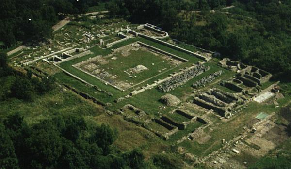
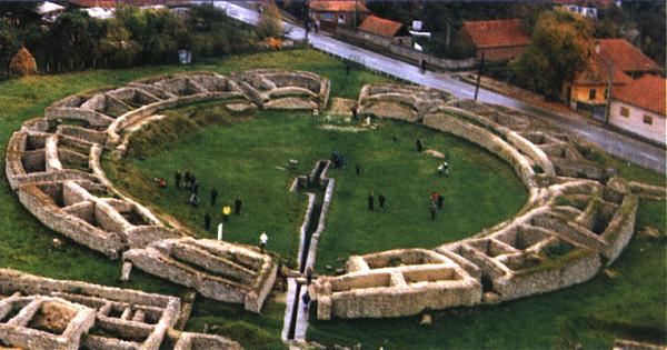
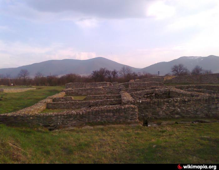
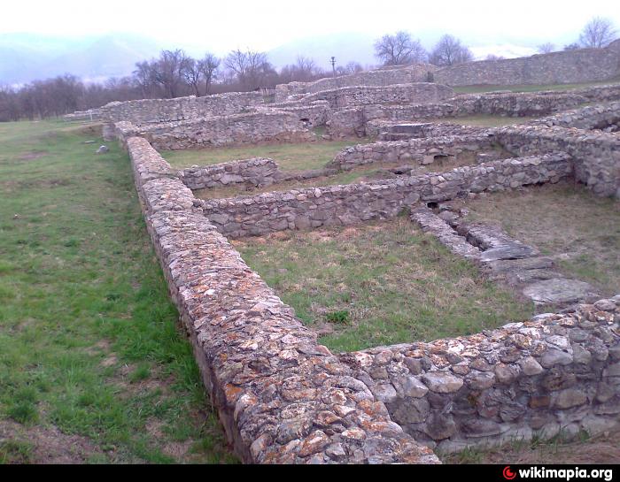
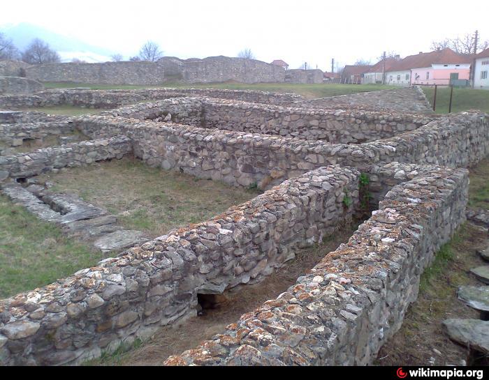
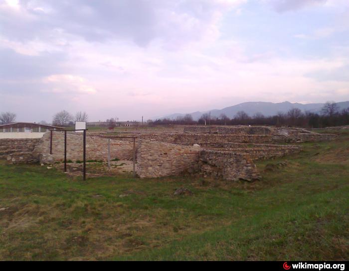
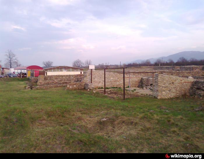
Ulpia Traiana Augusta Dacica Sarmizegetusa - the capital of the Roman Dacia - rose at the bottom of Retezat Mountains, in the South-Western part of the Hateg region. The town was at 8 km from the pass between Banat and Transylvania, which old name was Tapae, today Iron Gates of Transylvania.
The antic city had an area of 32 ha surrounded by walls. In the hearth of the city were to main roads (cardo maximus oriented North-South and decumanus maximus oriented East-West), at its crossing being the main public building - Forum. But the city was not only inside the walls. Outside the walls, on a great area, were the village, the craftsmen workshops (brick makers, glass blowers), the temples and other public or private buildins. Also outside the walls were the cemeteries of the city (sepulcreta) identified at East and also at the West. The population was around 25.000 - 30.000 people.
www.ici.ro/romania/en/turism/hd_ulpiatraiana.html
Nearby cities:
Coordinates: 45°30'51"N 22°47'16"E
- Luncani-Piatra Roşie Dacian fortress 30 km
- Old metalurgical plant "Victoria" in Călan 30 km
- The Dacian citadel of Banita 41 km
- Sarmizegetusa Regia Sacred Areas 42 km
- Germisara - castre 53 km
- Castrum XIII Gemina Legion 87 km
- Roman settlement from Rusciori 100 km
- Arxavia (Strassburg) Citadel - ruins 118 km
- Potaissa (castra) 140 km
- Băile Homorod 203 km
- FORUM 0.2 km
- Roman road 2.6 km
- Mlastina de la Pesteana 3.5 km
- Pastravaria de la Zeicani 4.2 km
- Roman road 12 km
- Retezat Peak (2485m) 16 km
- Quarry 17 km
- Retezat National Park 19 km
- Baraj Gura Apelor (168m) 20 km
- Gura Apei Lake 21 km