Chelsea (London)
United Kingdom /
England /
London
World
/ United Kingdom
/ England
/ London
World / United Kingdom / England
district, draw only border
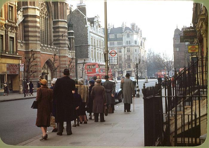
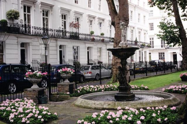
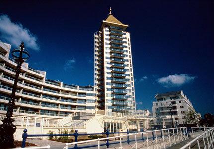
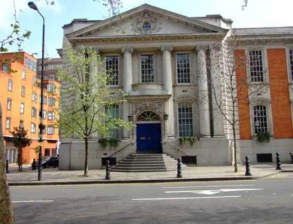
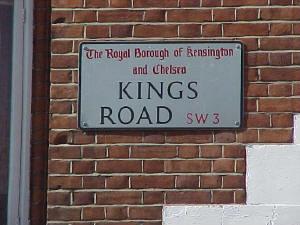
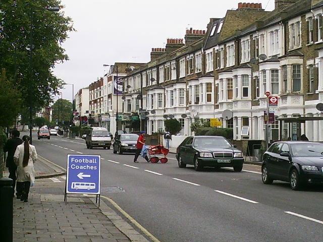
An upmarket riverside area of London made famous by the successful Premier Football team. It is also famous for Chelsea Buns, Chelsea China and Chelsea Royal Hospital. At one time an arts area, it is now mostly a wealthy district.
Wikipedia article: http://en.wikipedia.org/wiki/Chelsea,_London
Nearby cities:
Coordinates: 51°29'8"N -0°10'9"E
- Beckenham 9 km
- Wycombe District 63 km
- Redditch 156 km
- Hall Green 162 km
- Selly Oak 163 km
- Northfield 167 km
- Edgbaston 168 km
- Halesowen 173 km
- Pontypridd 223 km
- North Devon 286 km
- Chelsea Old Rectory 0.2 km
- Paulton Square 0.3 km
- Sir Thomas More Estate 0.4 km
- Beaufort Mansions 0.5 km
- Chelsea Square 0.5 km
- Cremorne Estate 0.6 km
- Battersea Park 1.1 km
- City of Westminster 3 km
- Wandsworth Council 4 km
- Central London 4.2 km